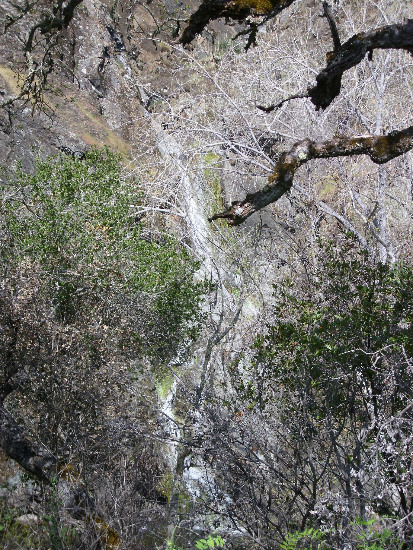
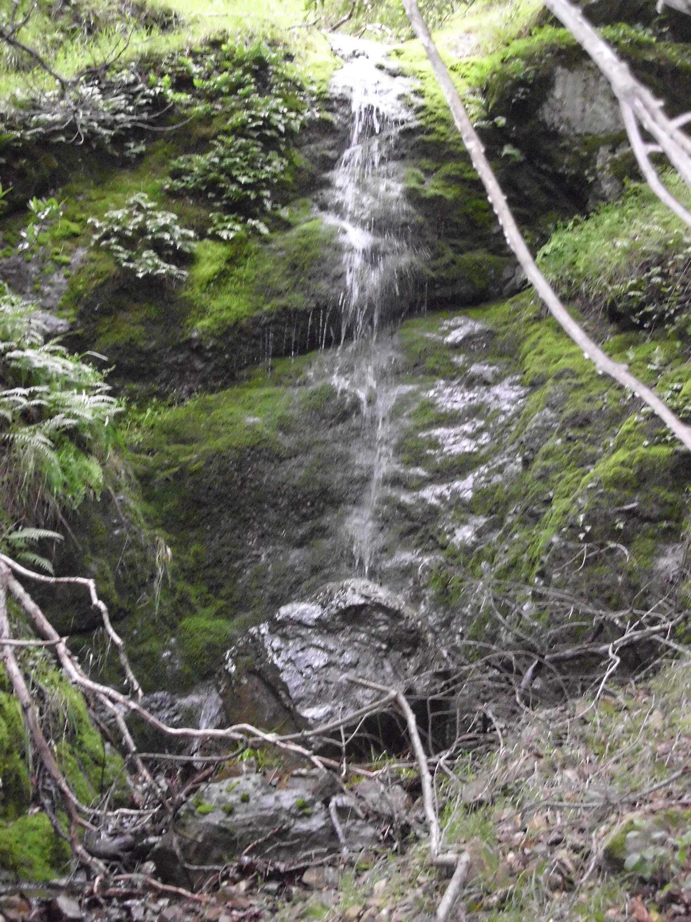
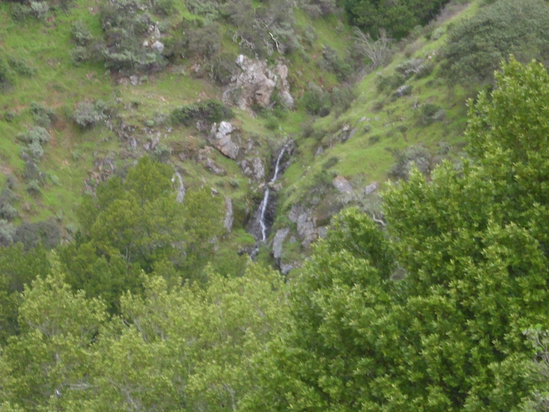
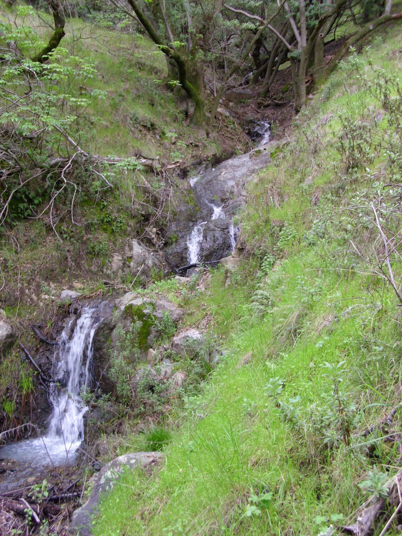
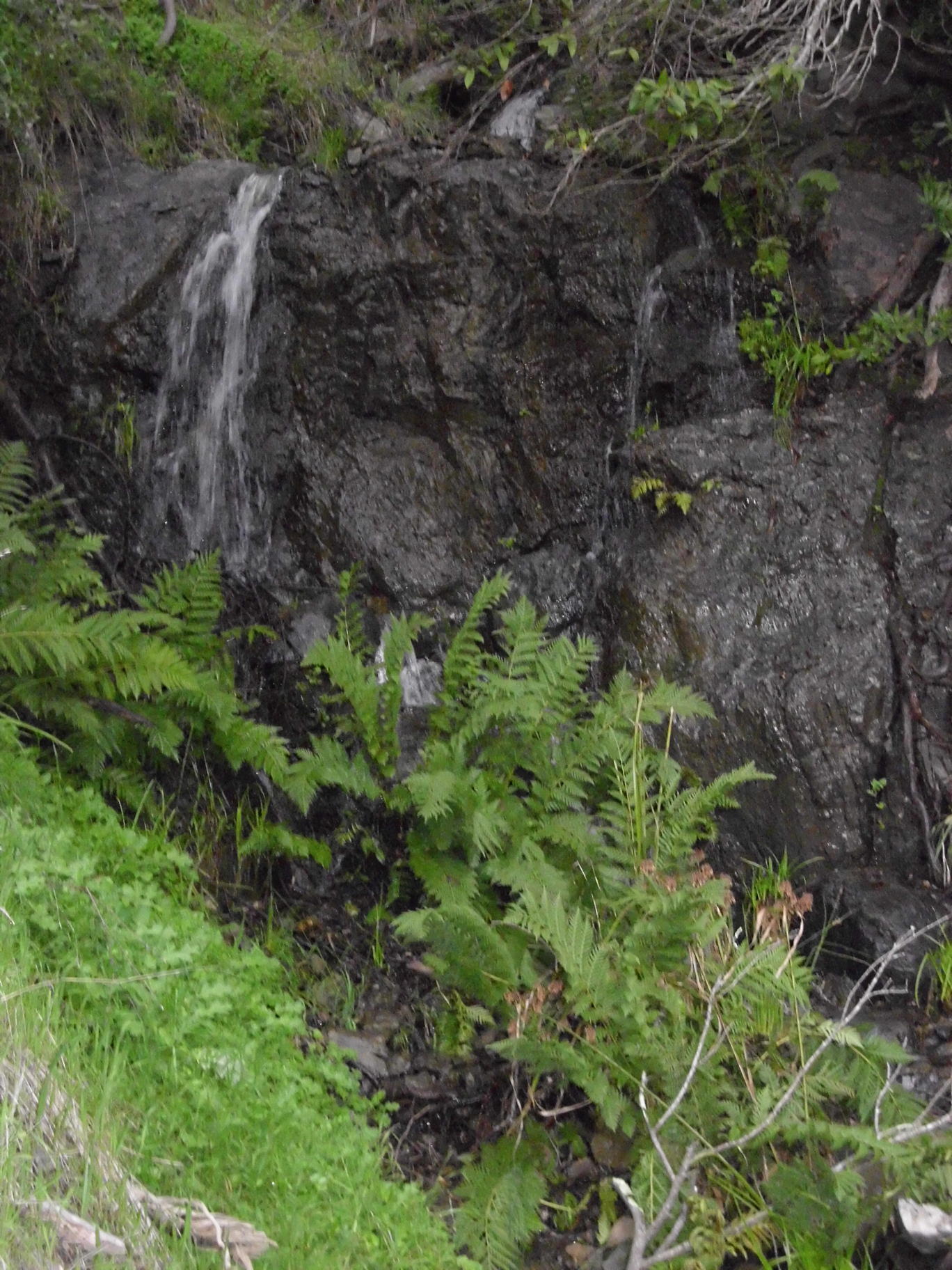
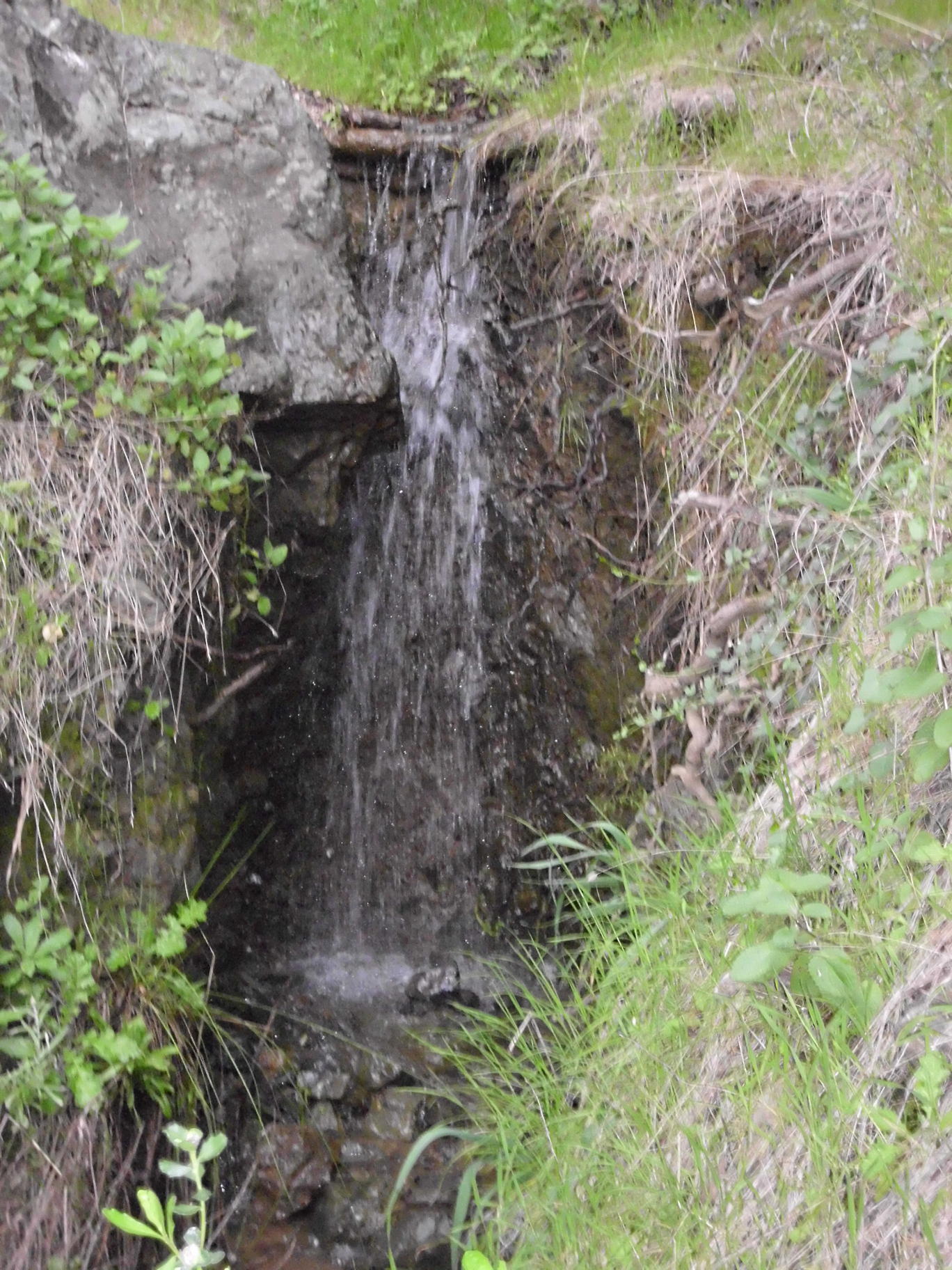
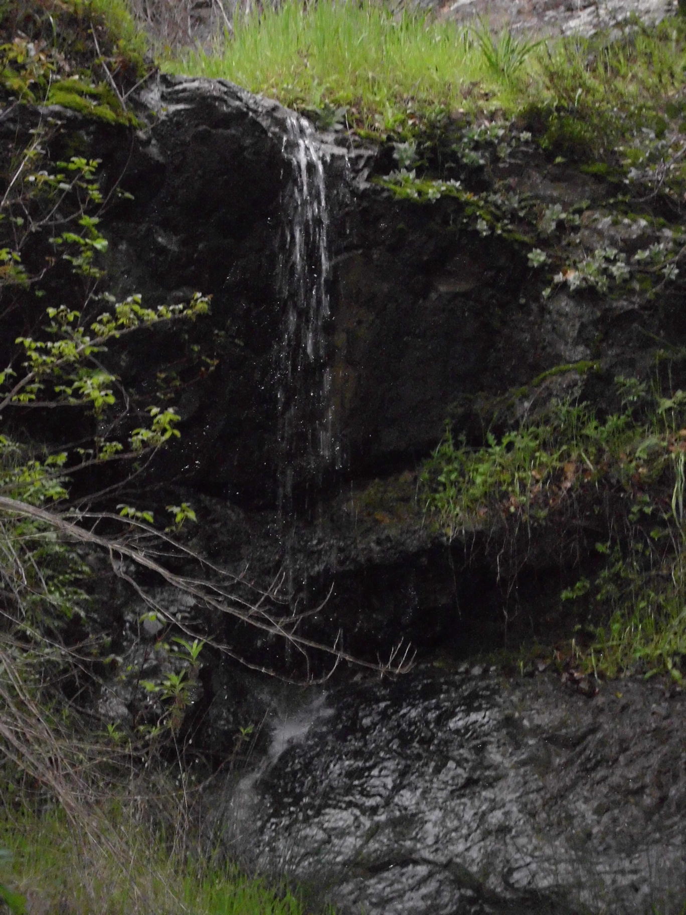
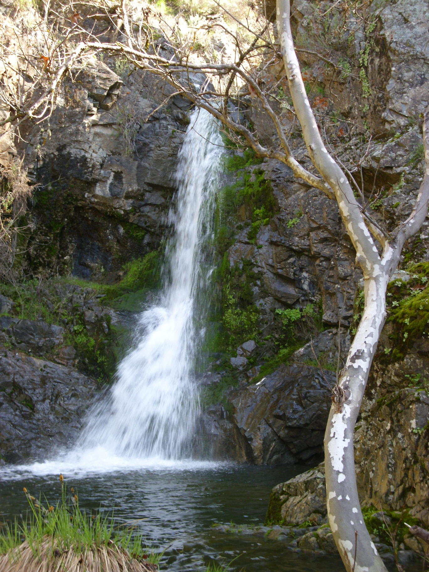
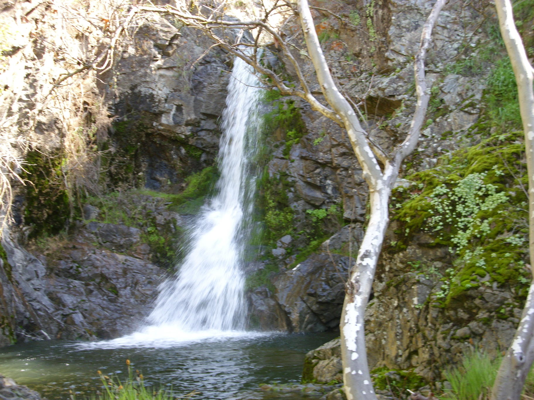
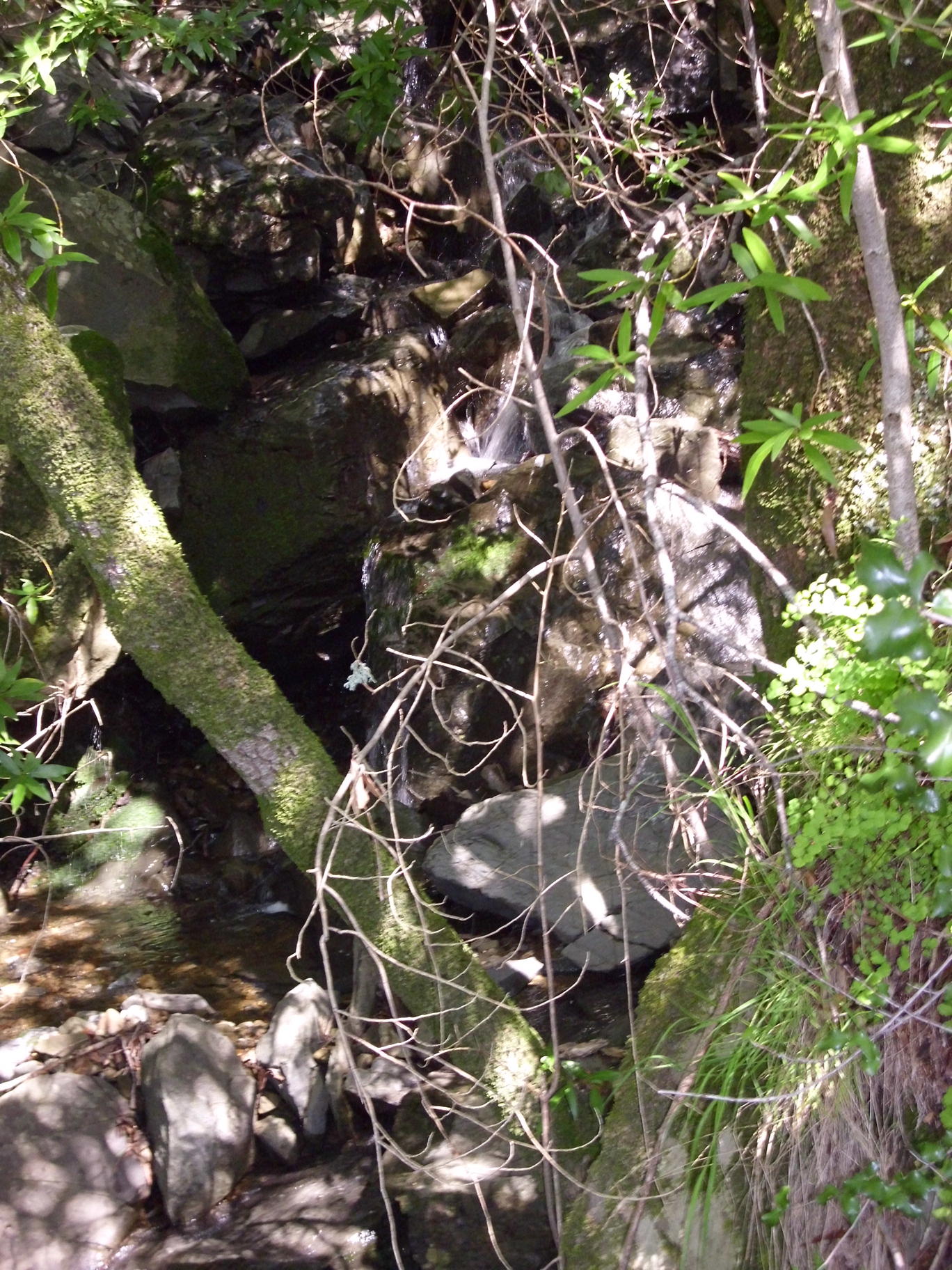
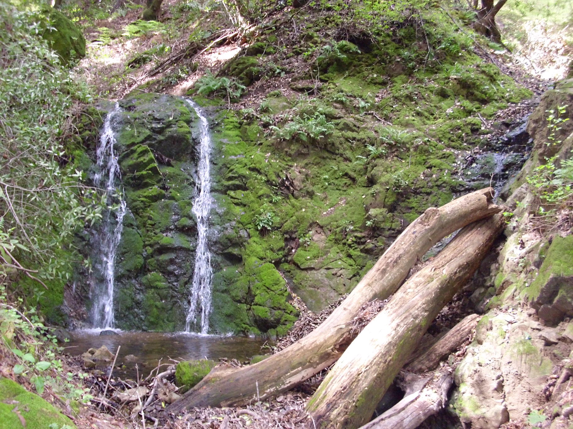
Blackstone Canyon and Lucas Valley, March 1
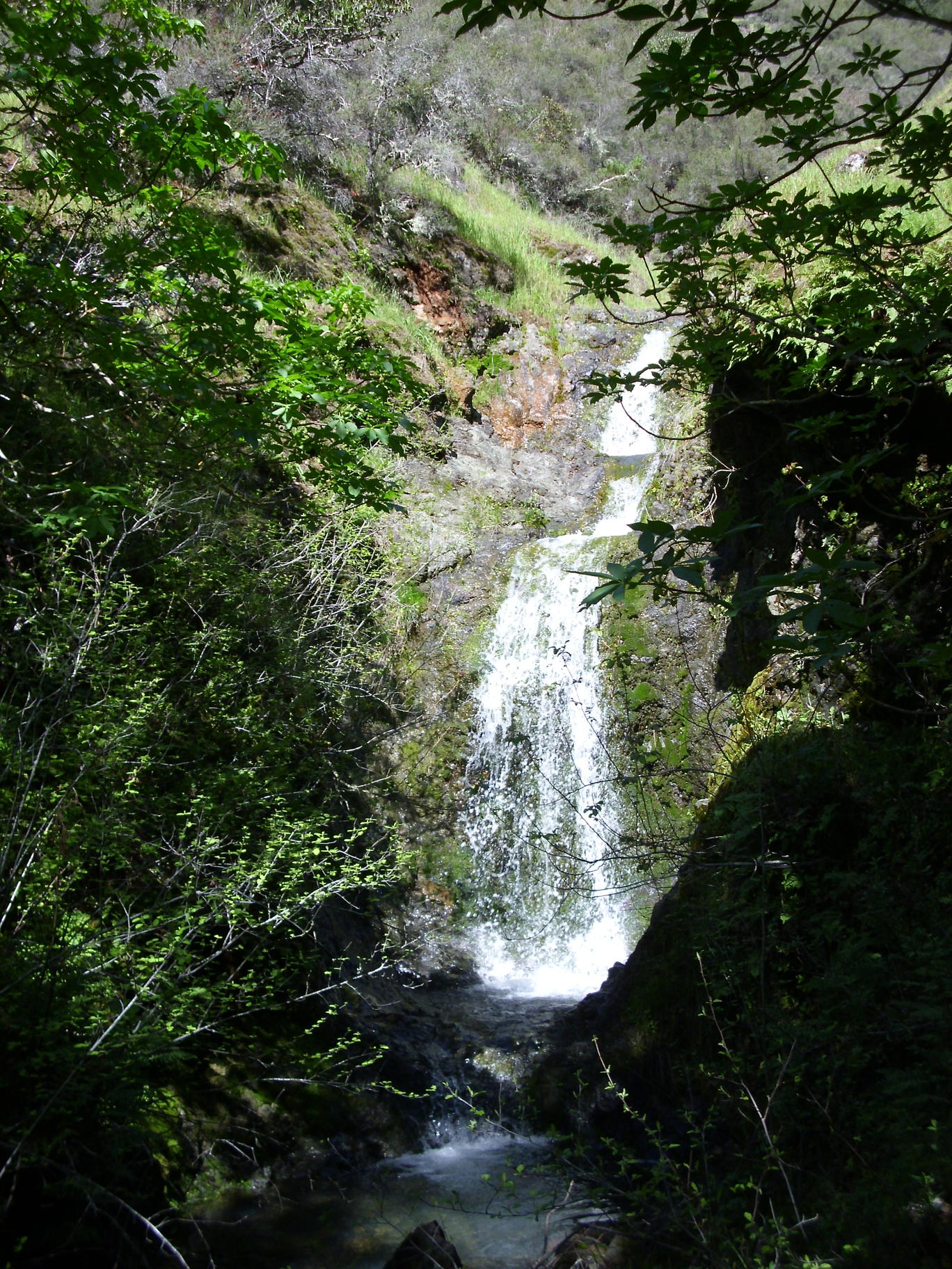
Waterfall a few hundred yards south of Blackstone Creek: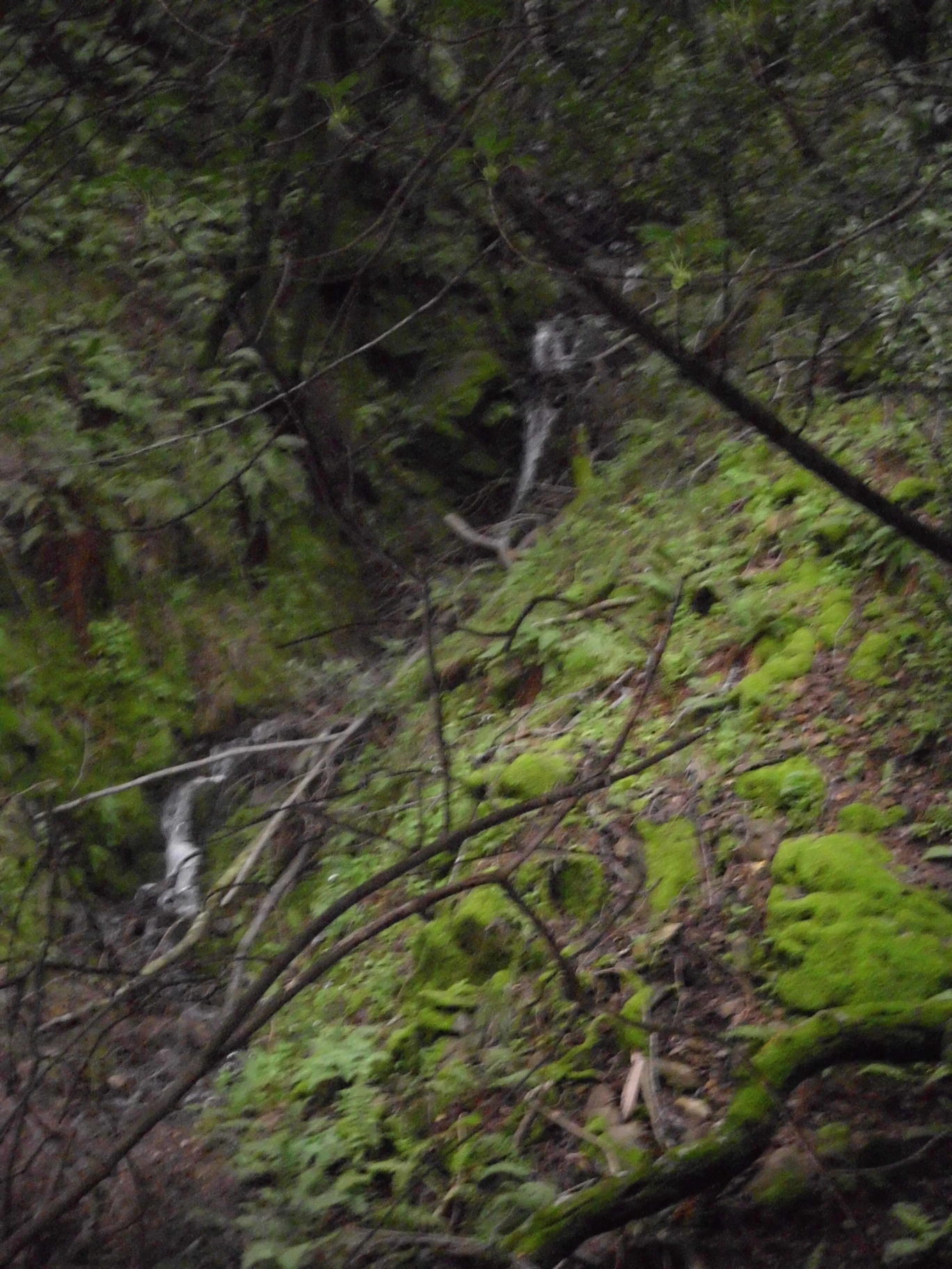
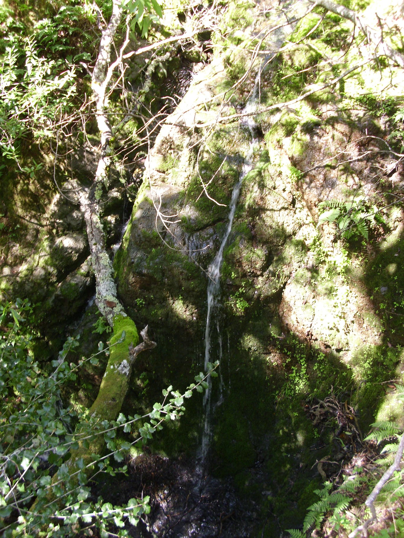
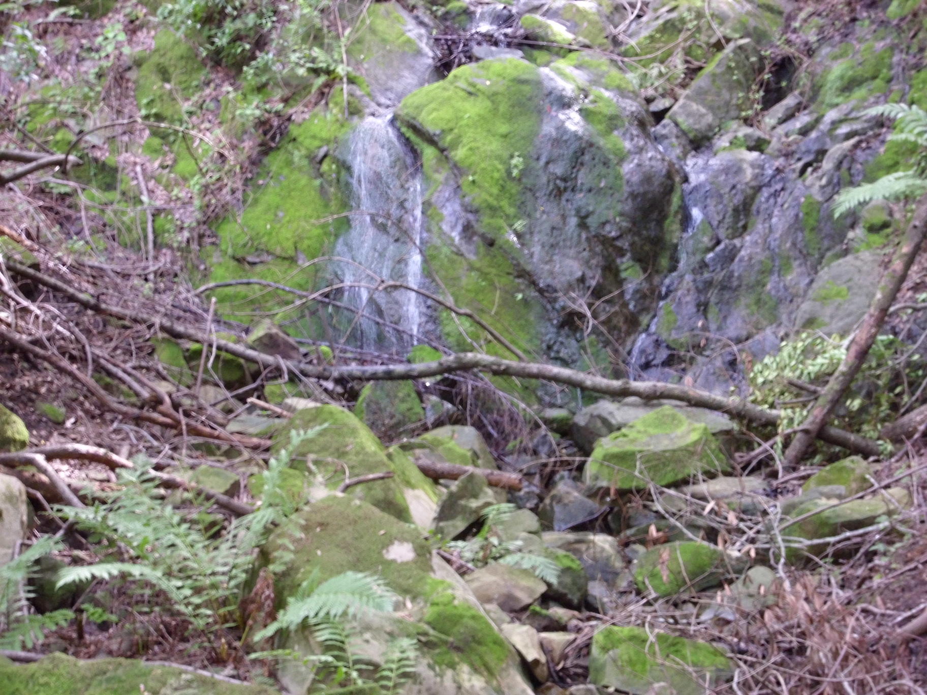
waterfall on same side stream as prior photo, close to Blackstone Creek:
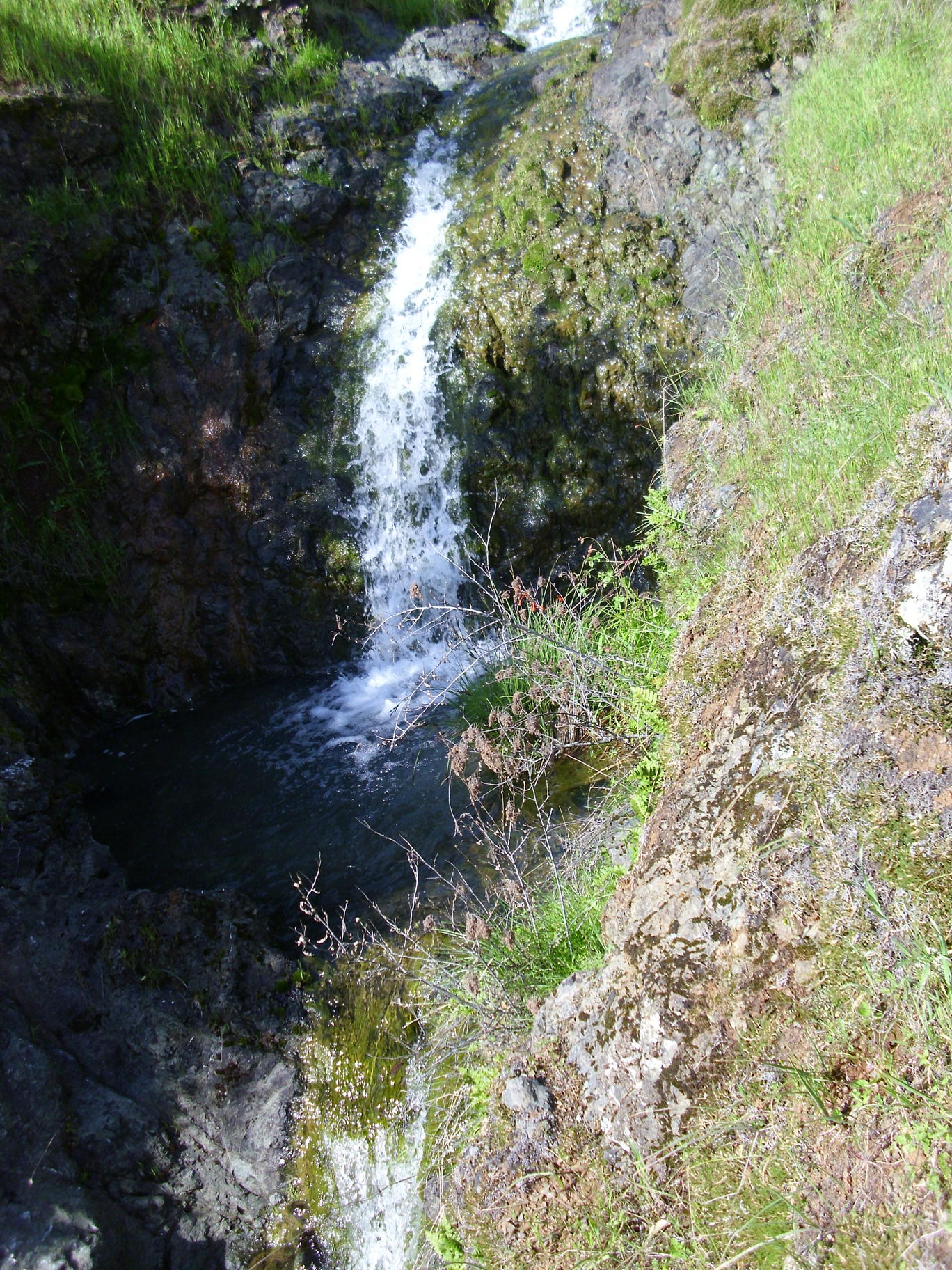
waterfall on a side stream north of Blackstone Creek, a few hundred yards east of the prior photo:
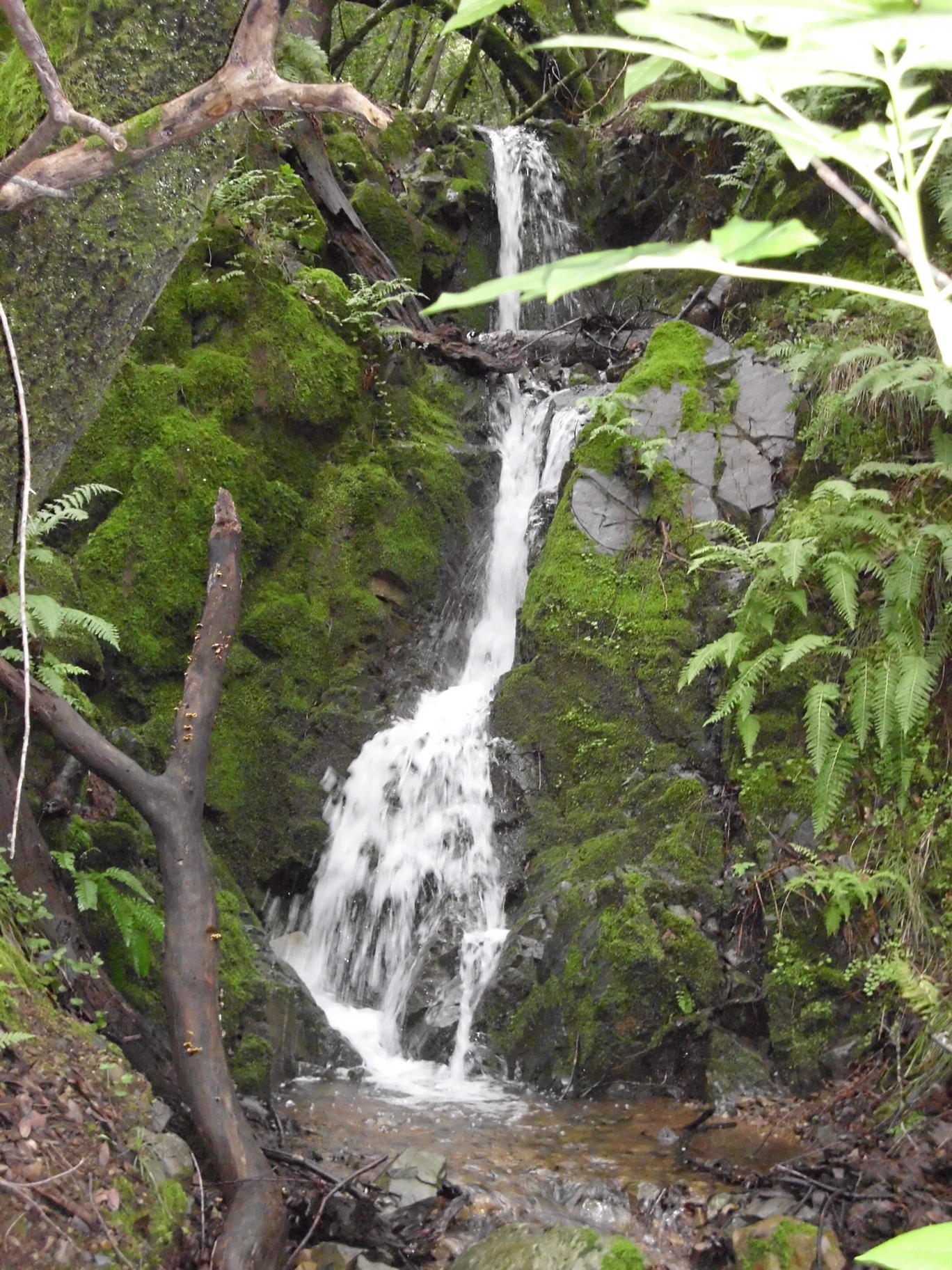
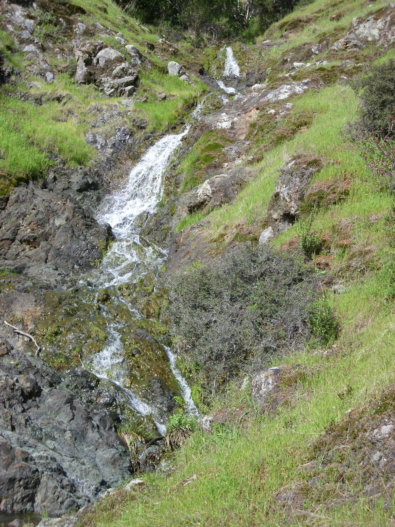
waterfall a bit upstream from the prior photo:
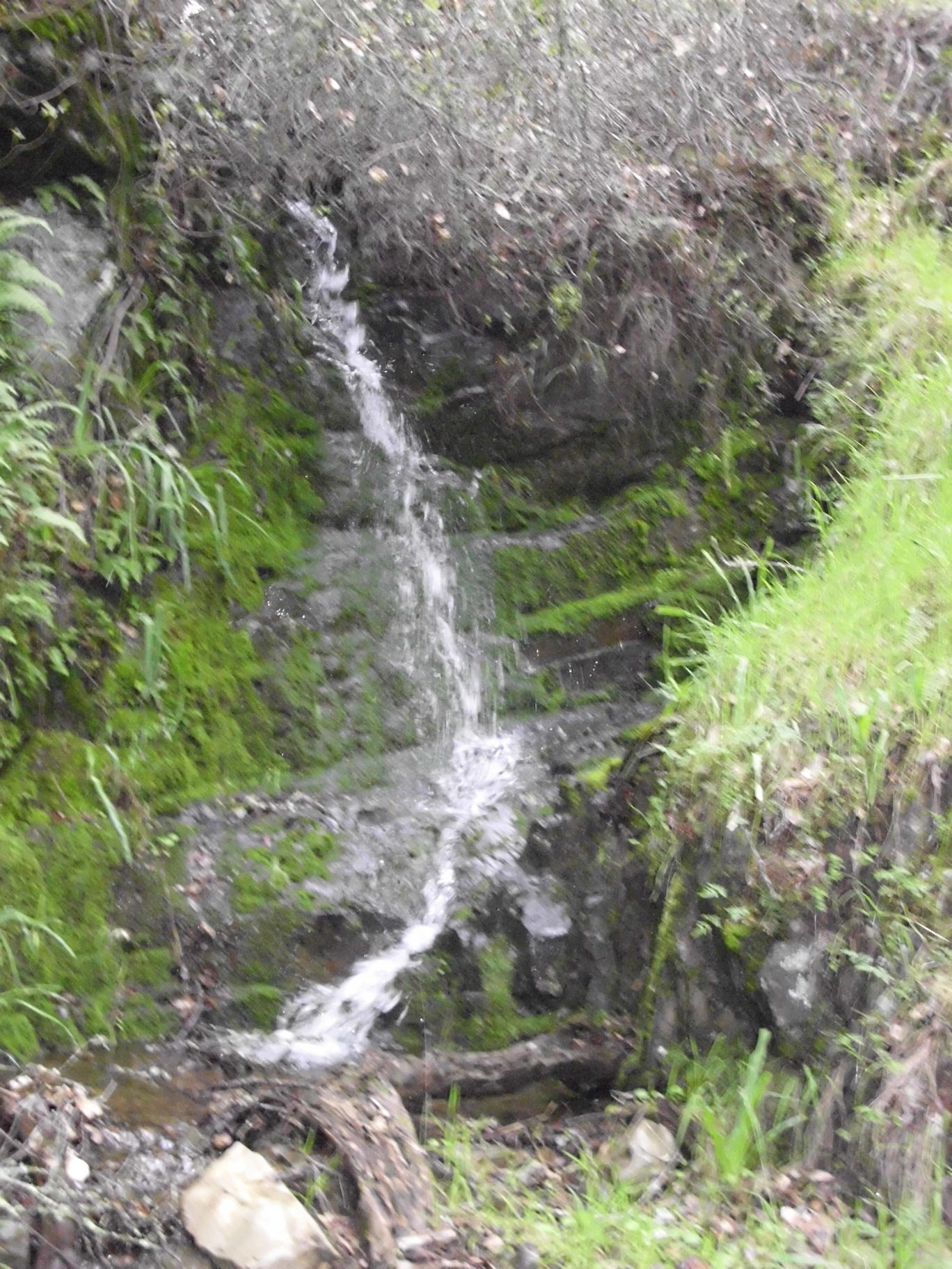
waterfall 1/4 mile east of Rubicon Falls:
various parts of a stream that flows down to Mt. Shasta Drive:


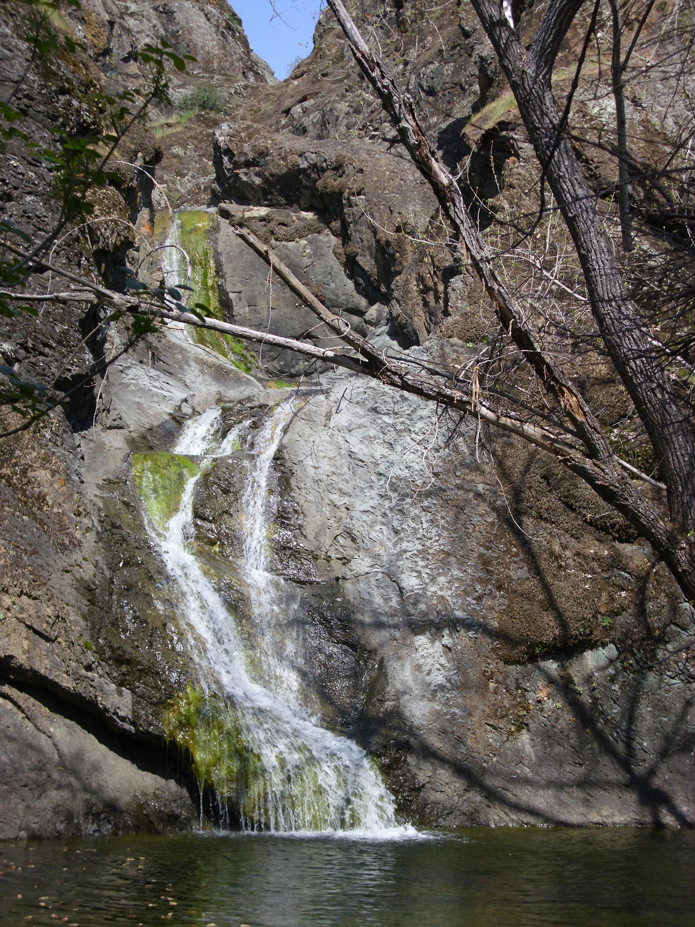
waterfall on a stream just east of the previous one:
waterfall on a small side stream about to meet the stream in the previous photo:
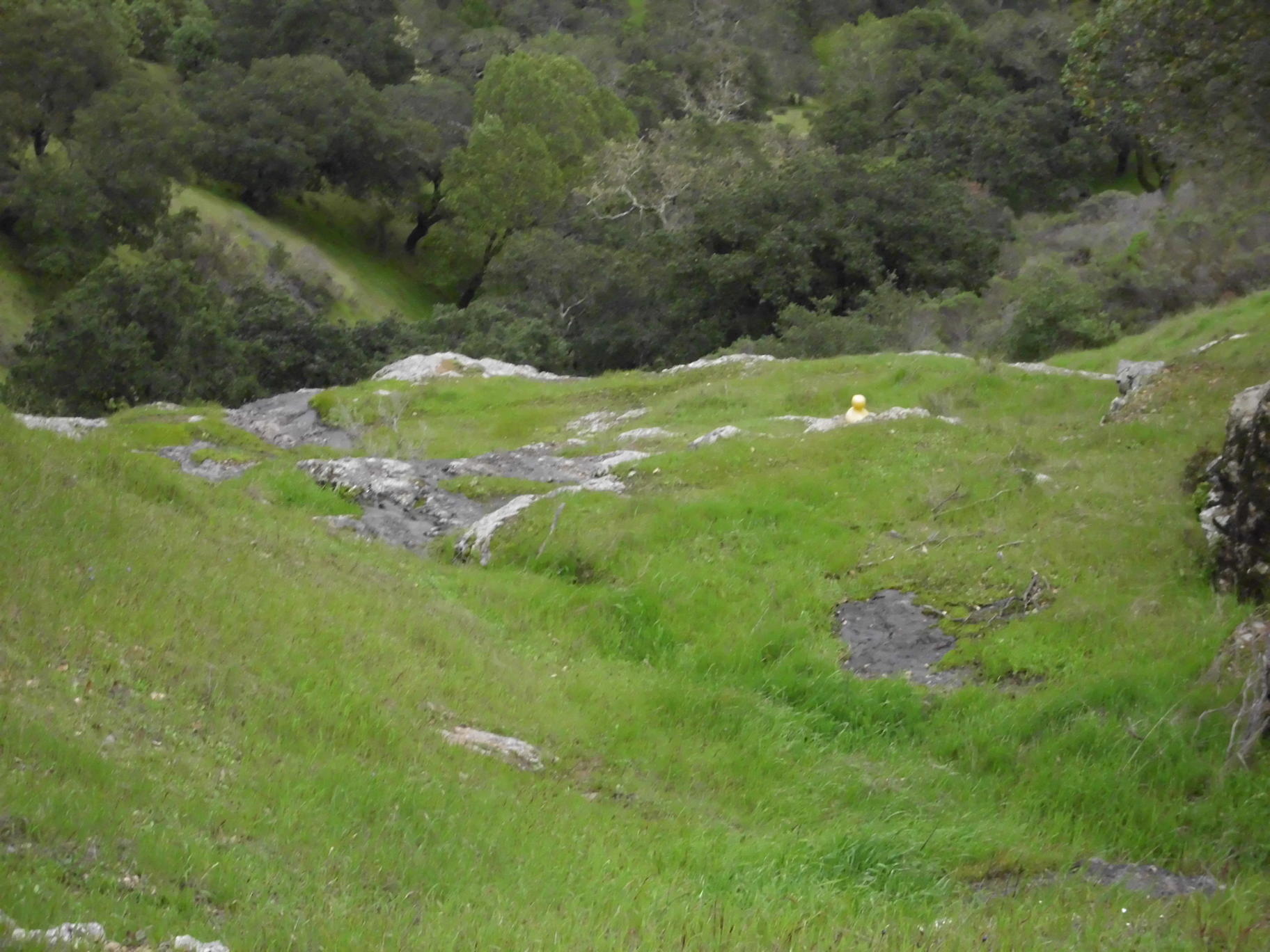
waterfall on a small stream just north of Juniper Berry Rd:
upstream from prior photo, looking down at top of rock ledge (note the yellow duck):
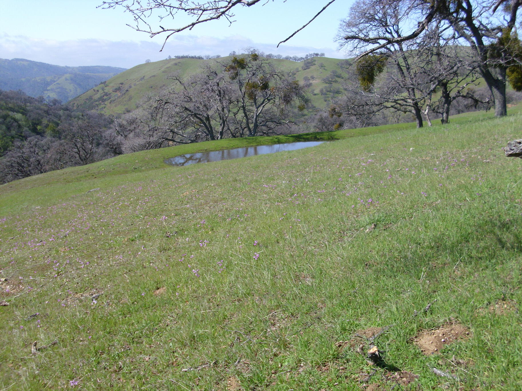
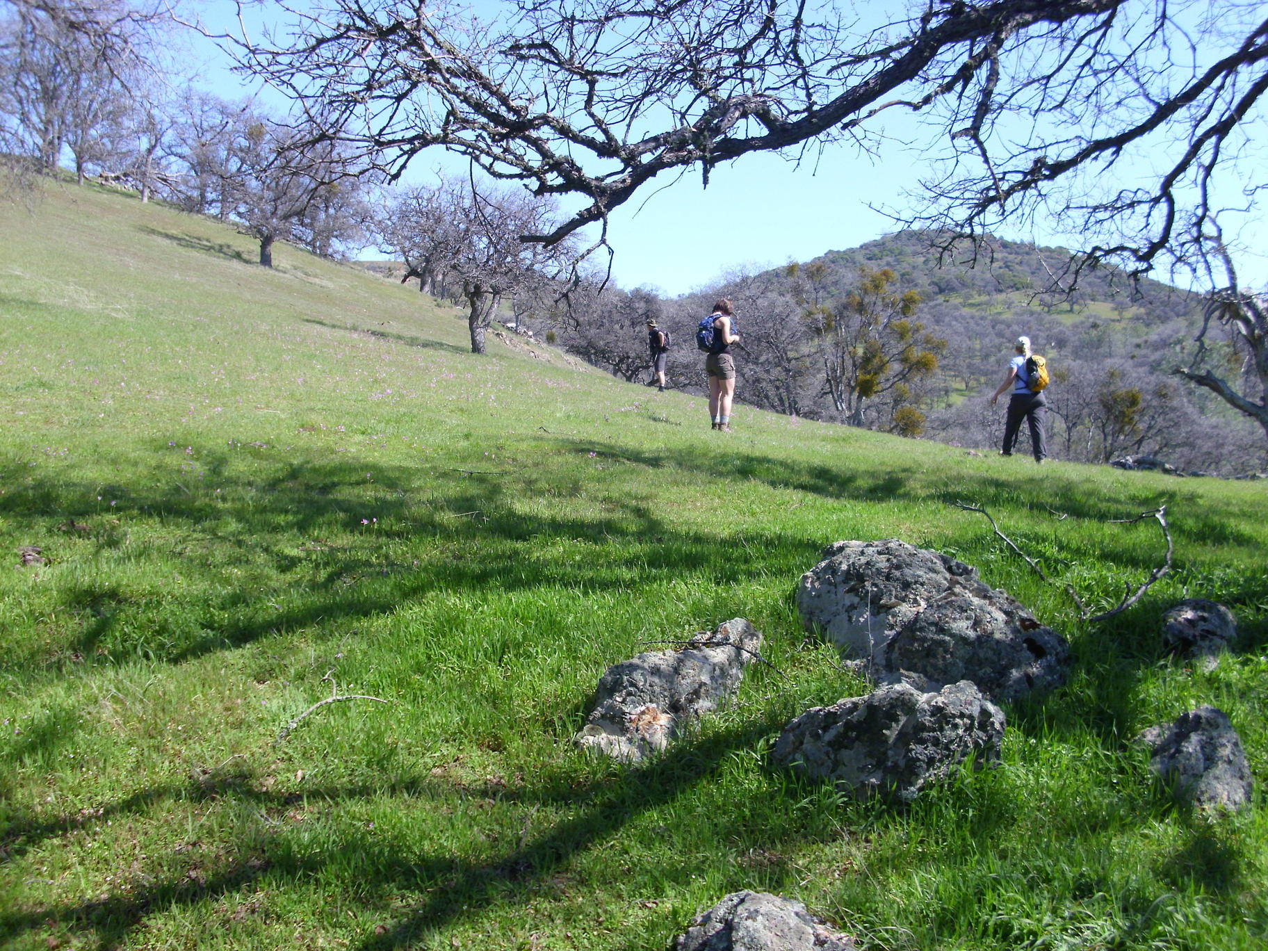
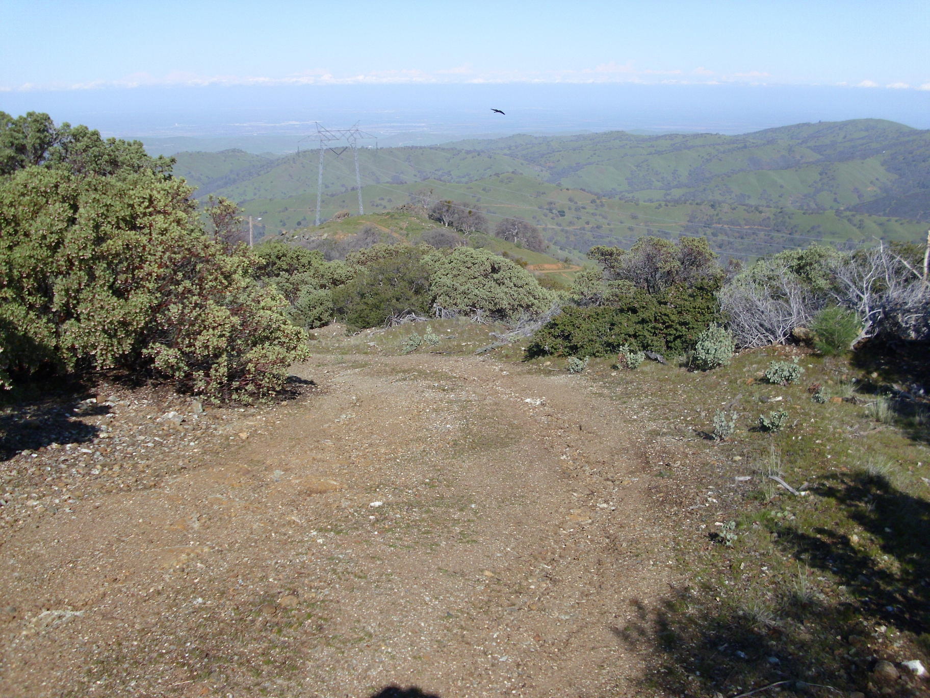
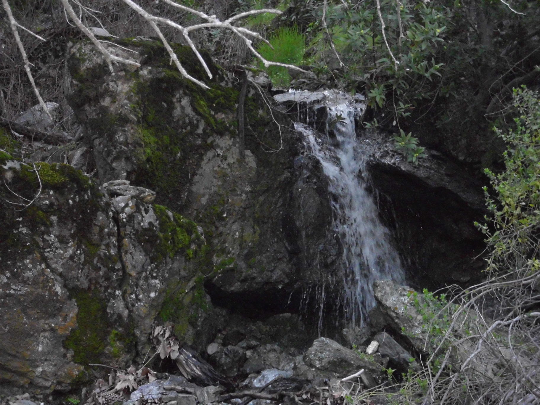
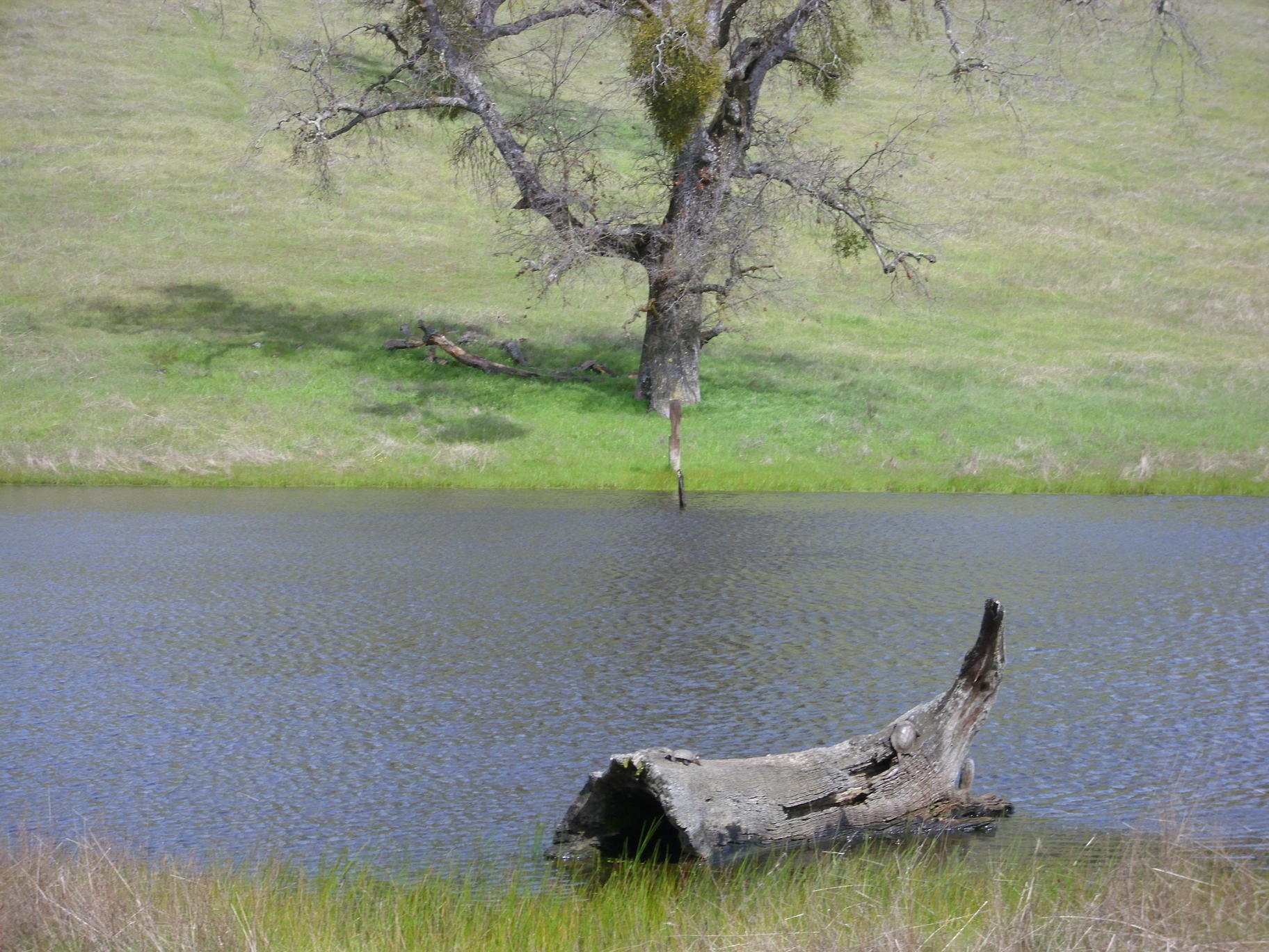
Del Valle to Cedar Mountain, March 7 with the Wildcat Adventure Club


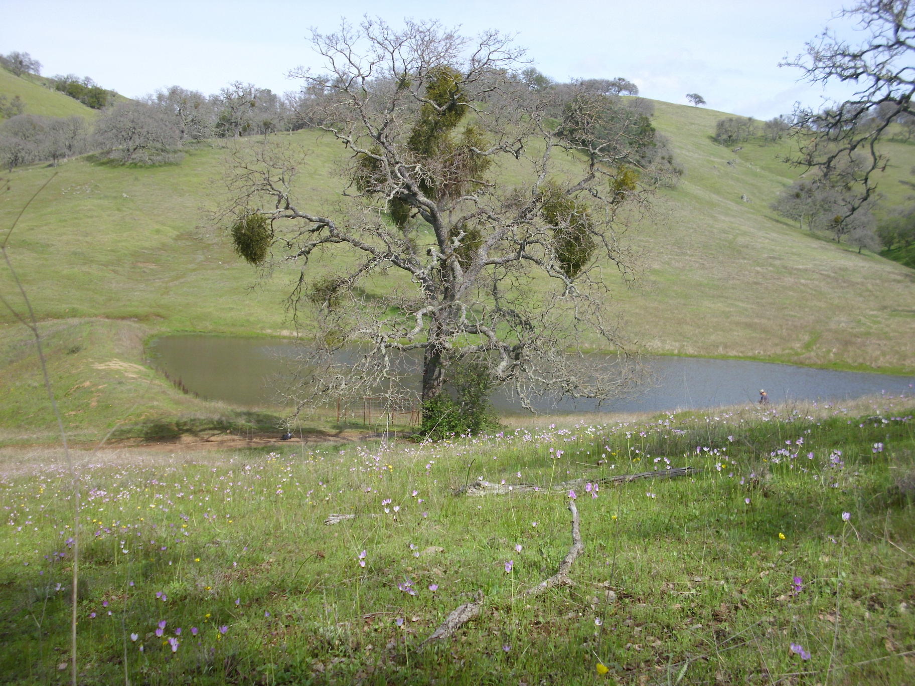
Pond in Lang Canyon, with shooting stars blooming nearby:


view northeast from near the summit of Cedar Mountain:
waterfall:


Henry Coe, March 9
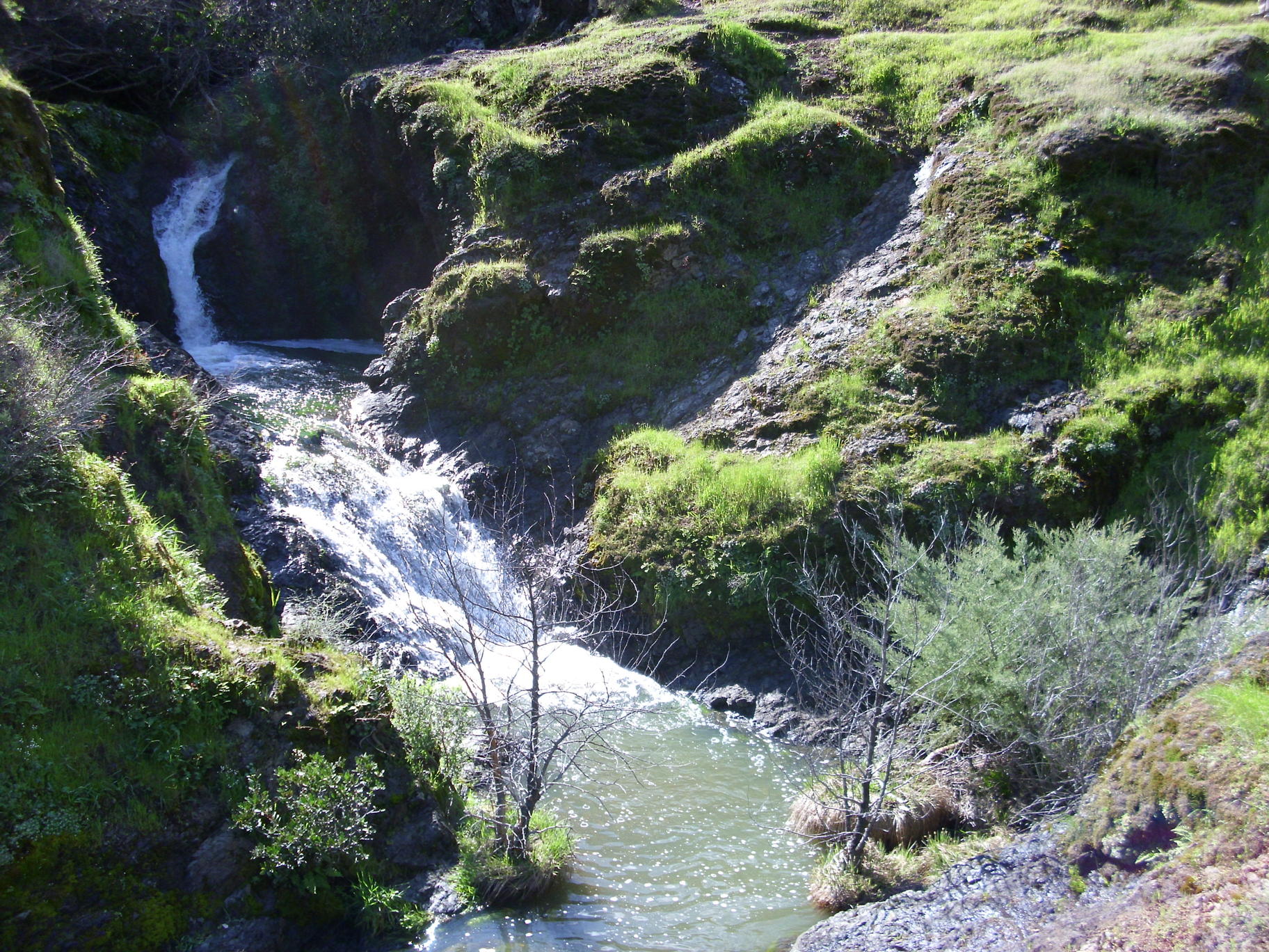
Waterfall in Grizzly Gulch:

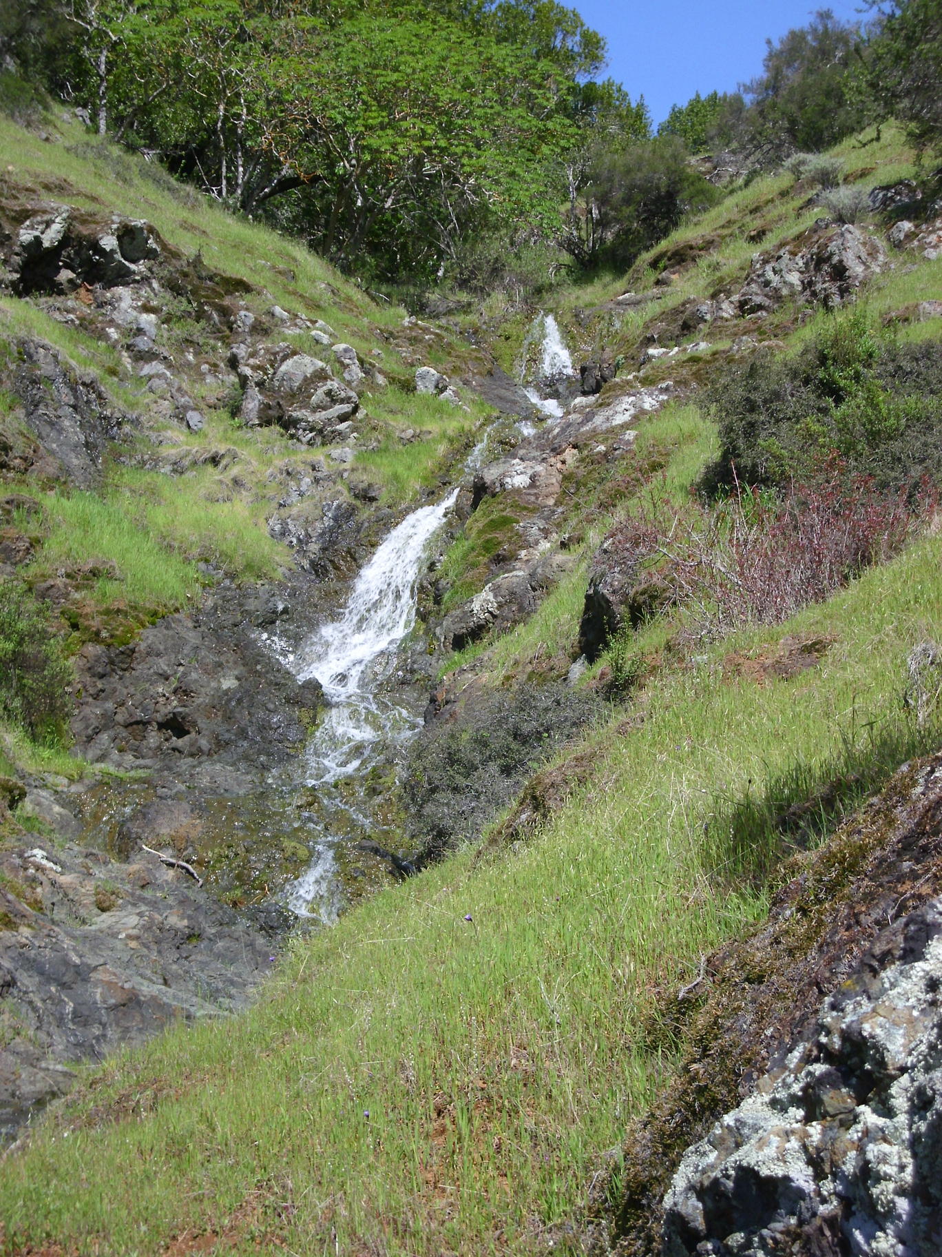
some cascades on stream by the Grizzly Gulch Trail (near the Tower Trail):
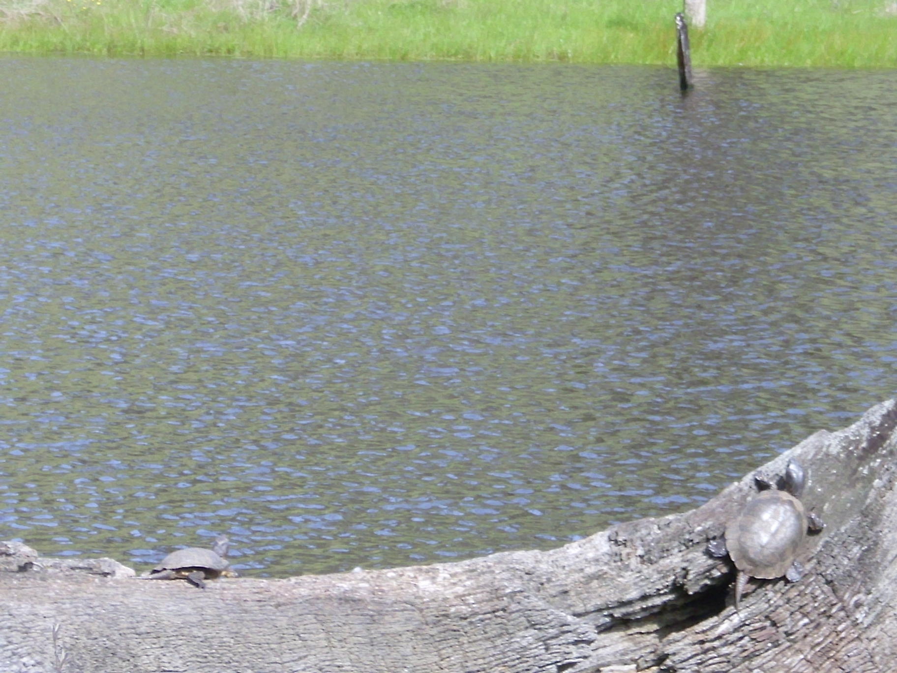
Rodeo Pond (turtles on the log):

Carson Falls and Cascade Falls, March 13 with the SF Hiking Club
The Inkwell:
Cascade Canyon, March 15
Romanzoffia californica (Mist Maidens) by stream coming south from White Hill:
waterfall farther down that stream:

a better waterfall farther down that stream:

smaller waterfall about a half mile east:

waterfall another half mile east (hard to see from this side of the creek, and too steep to easily get to the other side for a better view):


waterfall southwest of White Hill, south of Buckeye Circle:
waterfall a bit upstream from the prior one:
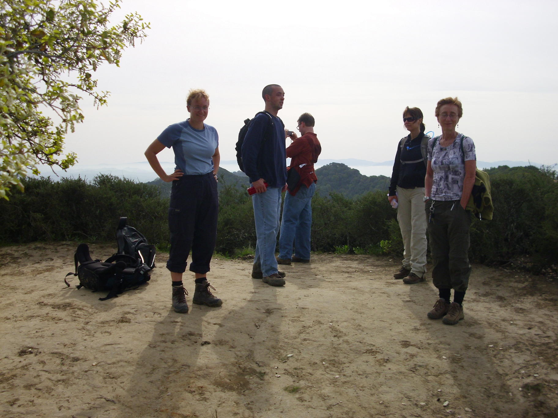
El Toro Peak, March 20 with INCH
Looking west toward Loma Prieta; Mule's ears nearby:
Las Trampas Waterfalls, March 21 with the Wildcat Adventure Club
Cows on Las Tramps Peak: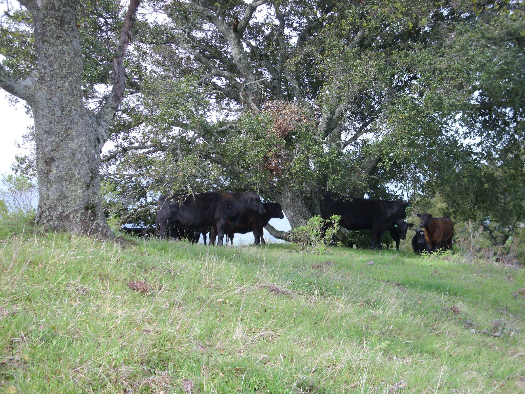
Looking south from Las Trampas Peak:
Almost a waterfall, east of Las Trampas Peak and a bit upstream from the Madrone trail:

Waterfall 1/4 mile east of Eagle Peak:
a smaller waterfall a little farther east:
Palomarin beach / Bass Lake, March 25
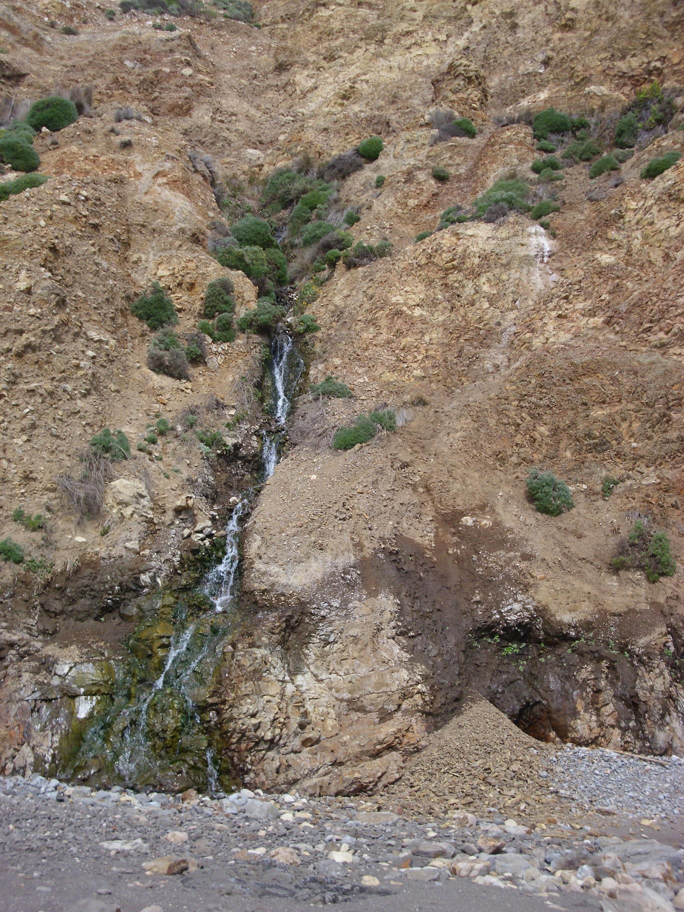
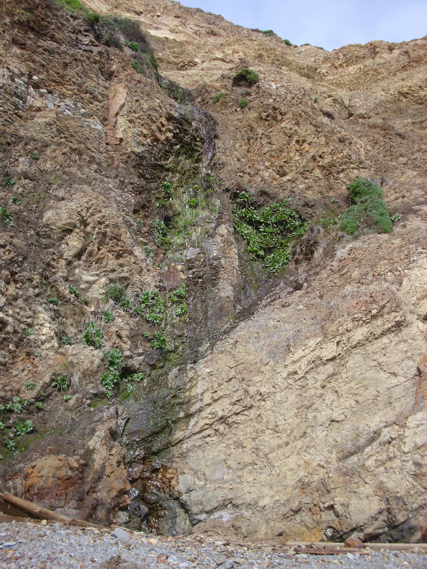
Small (8 foot) waterfall near the Palomarin trailhead: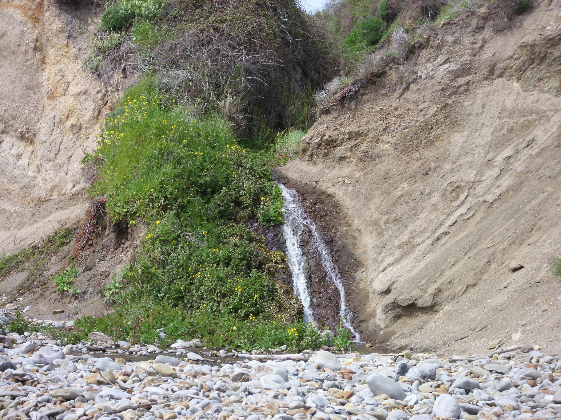

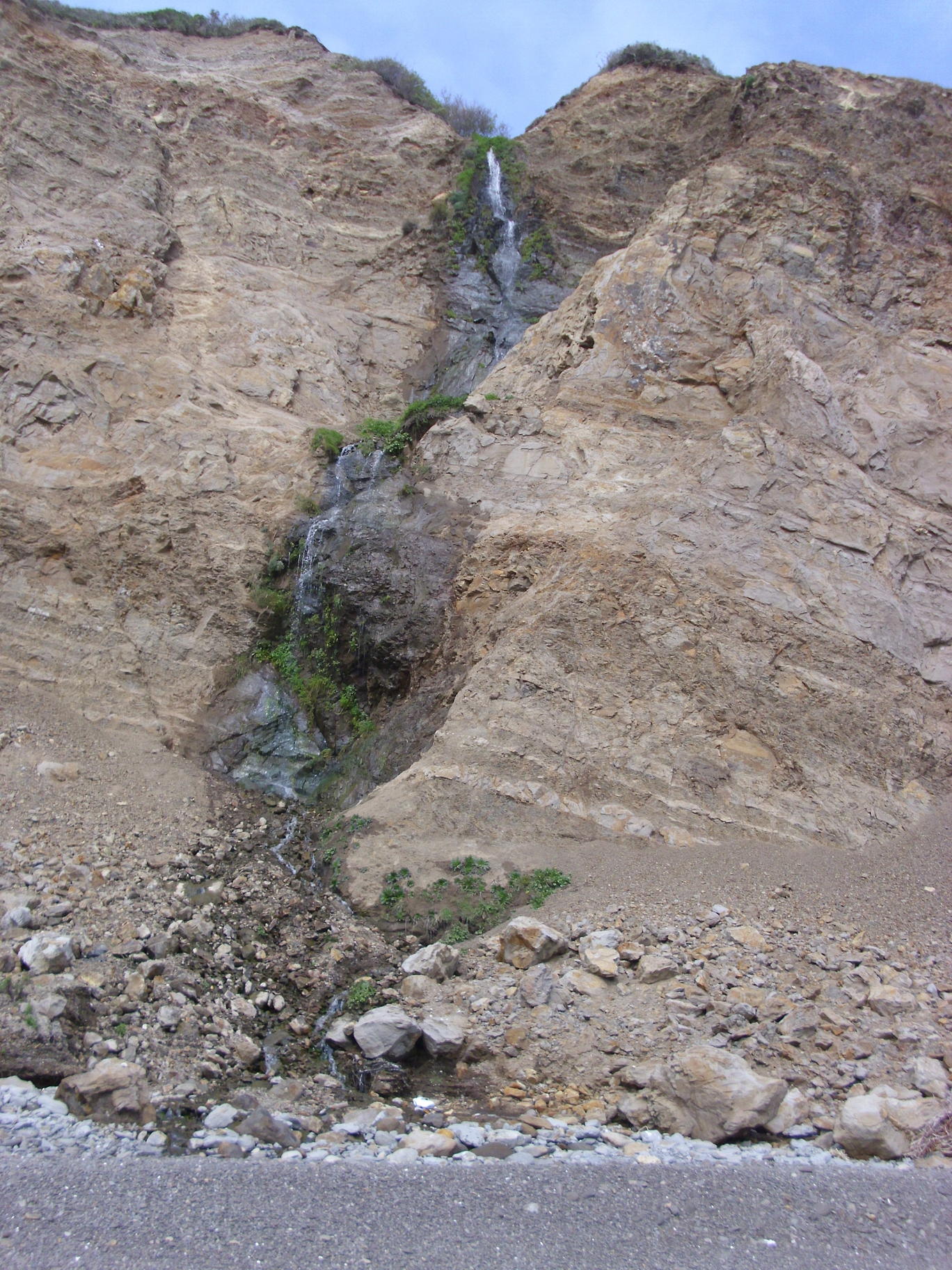
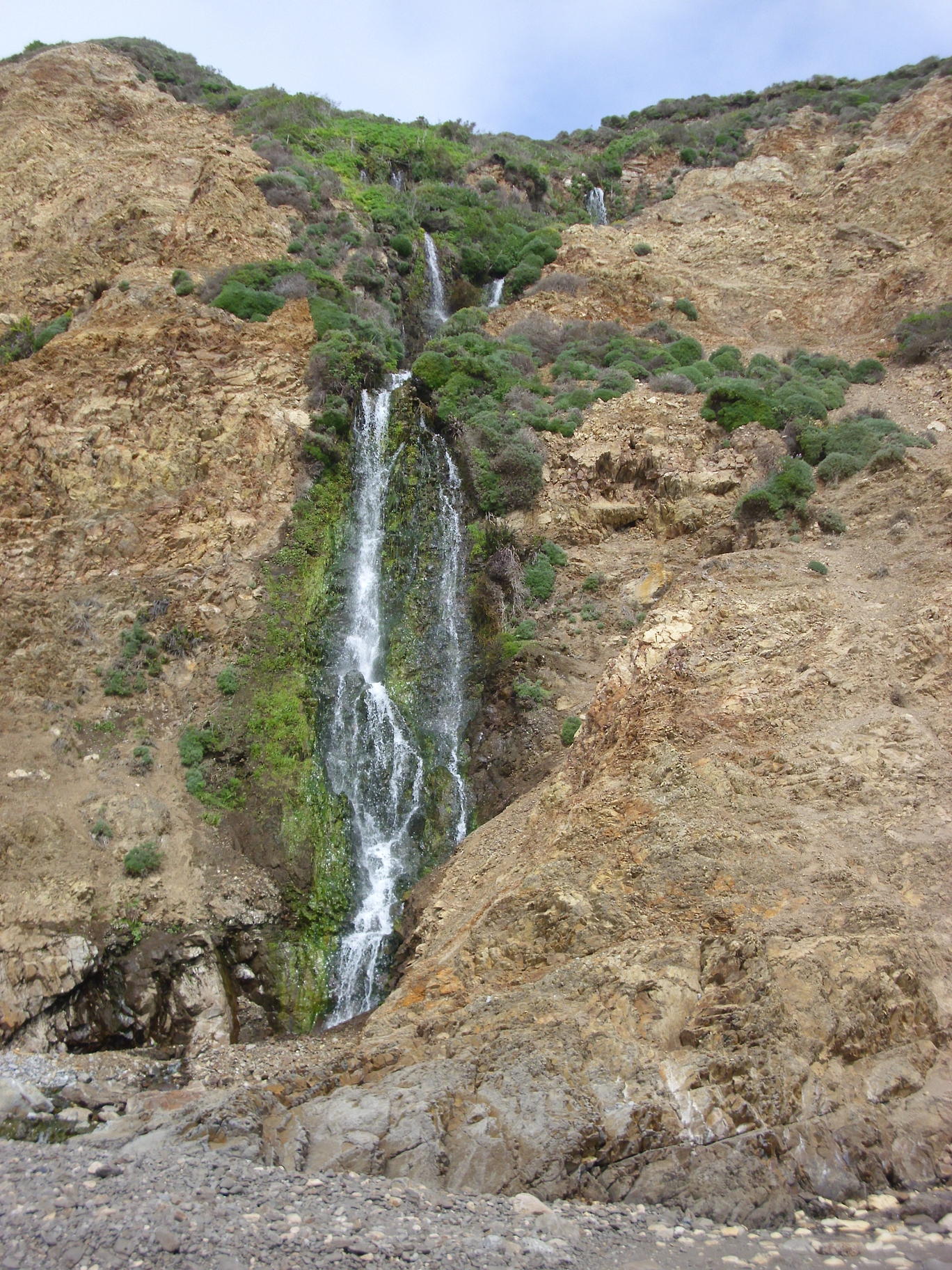
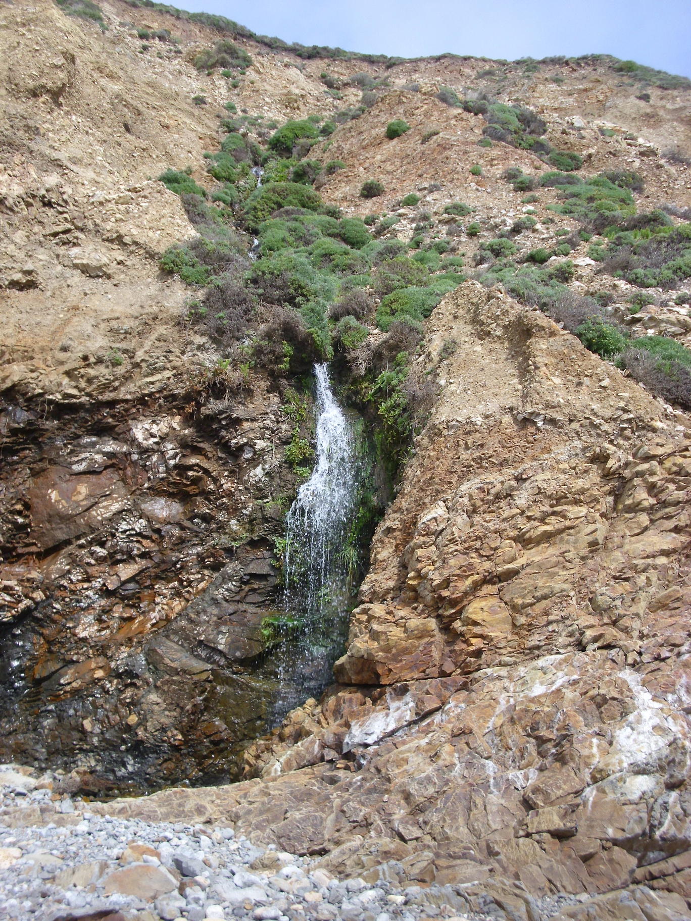
65 foot waterfall a half mile northwest of the trailhead:
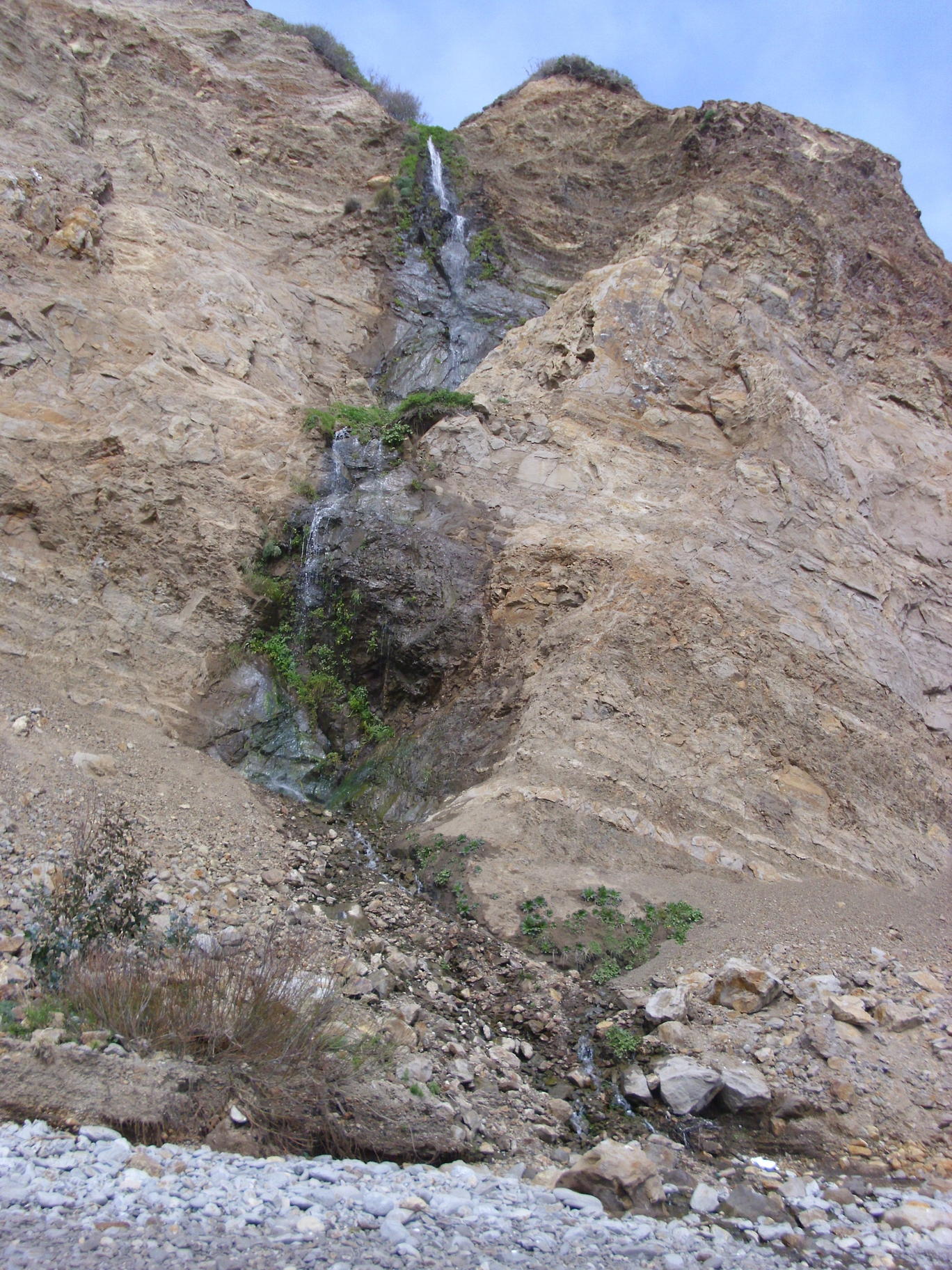
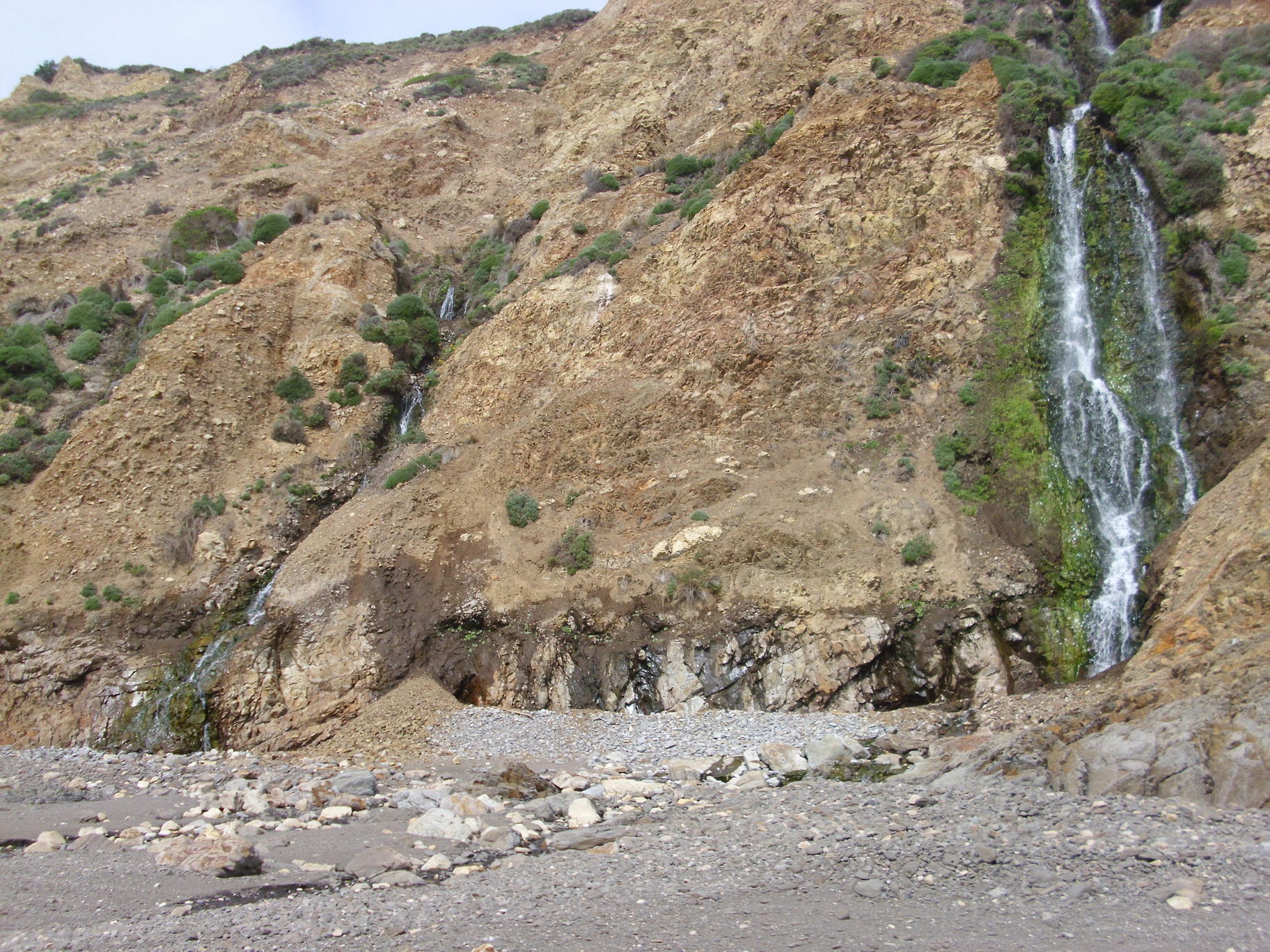
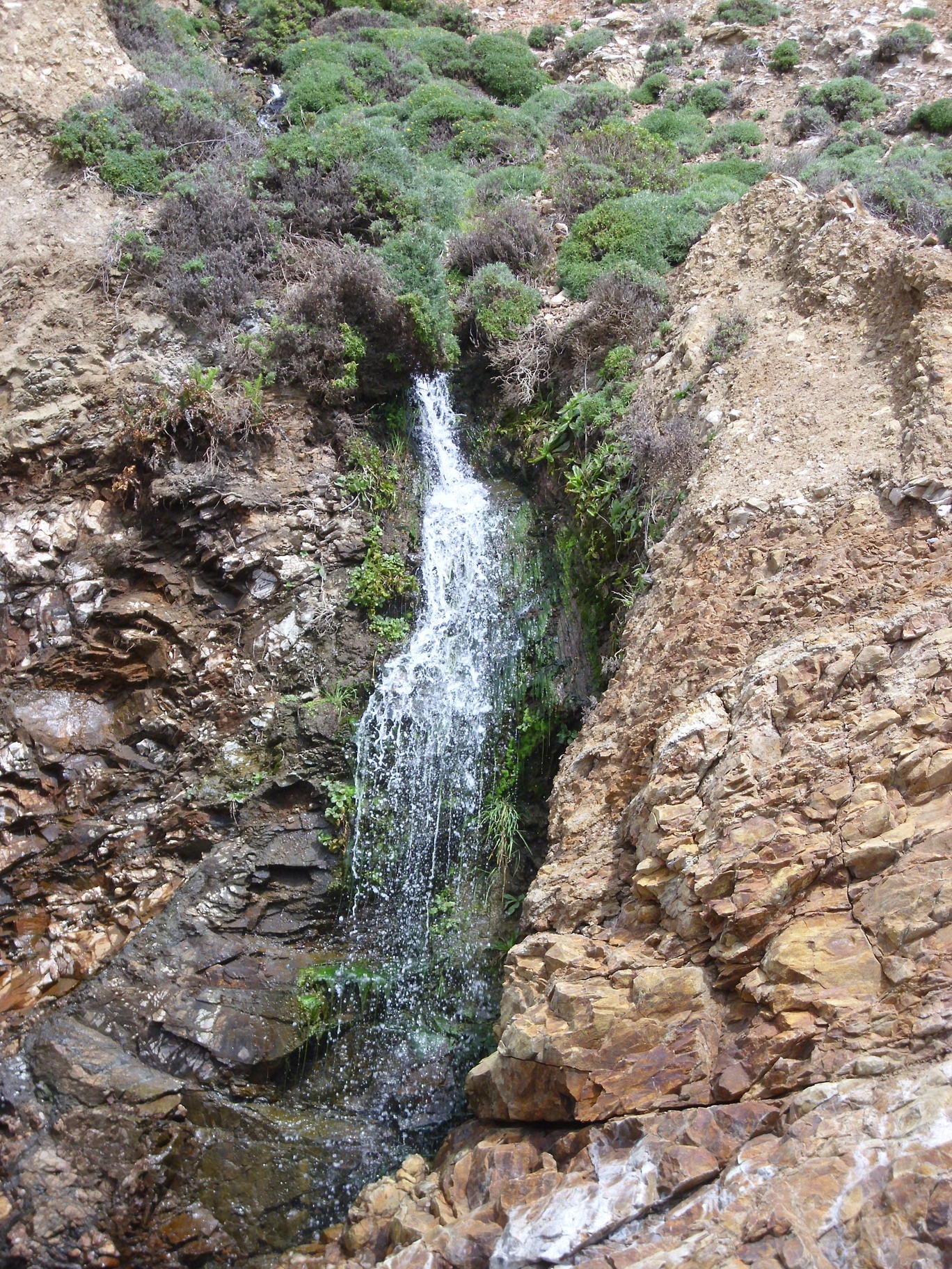
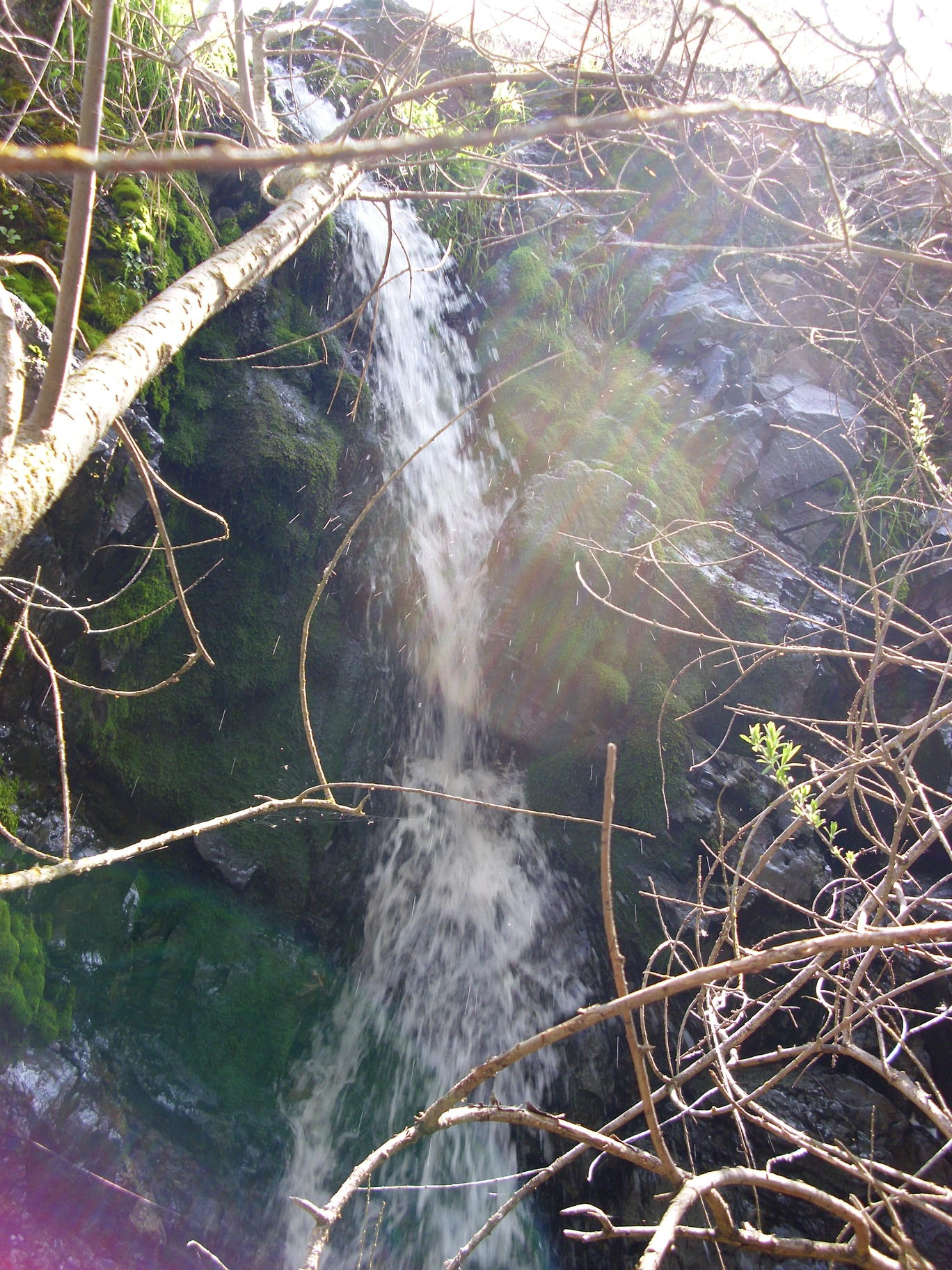
A 45 or 50 foot waterfall a bit farther west:
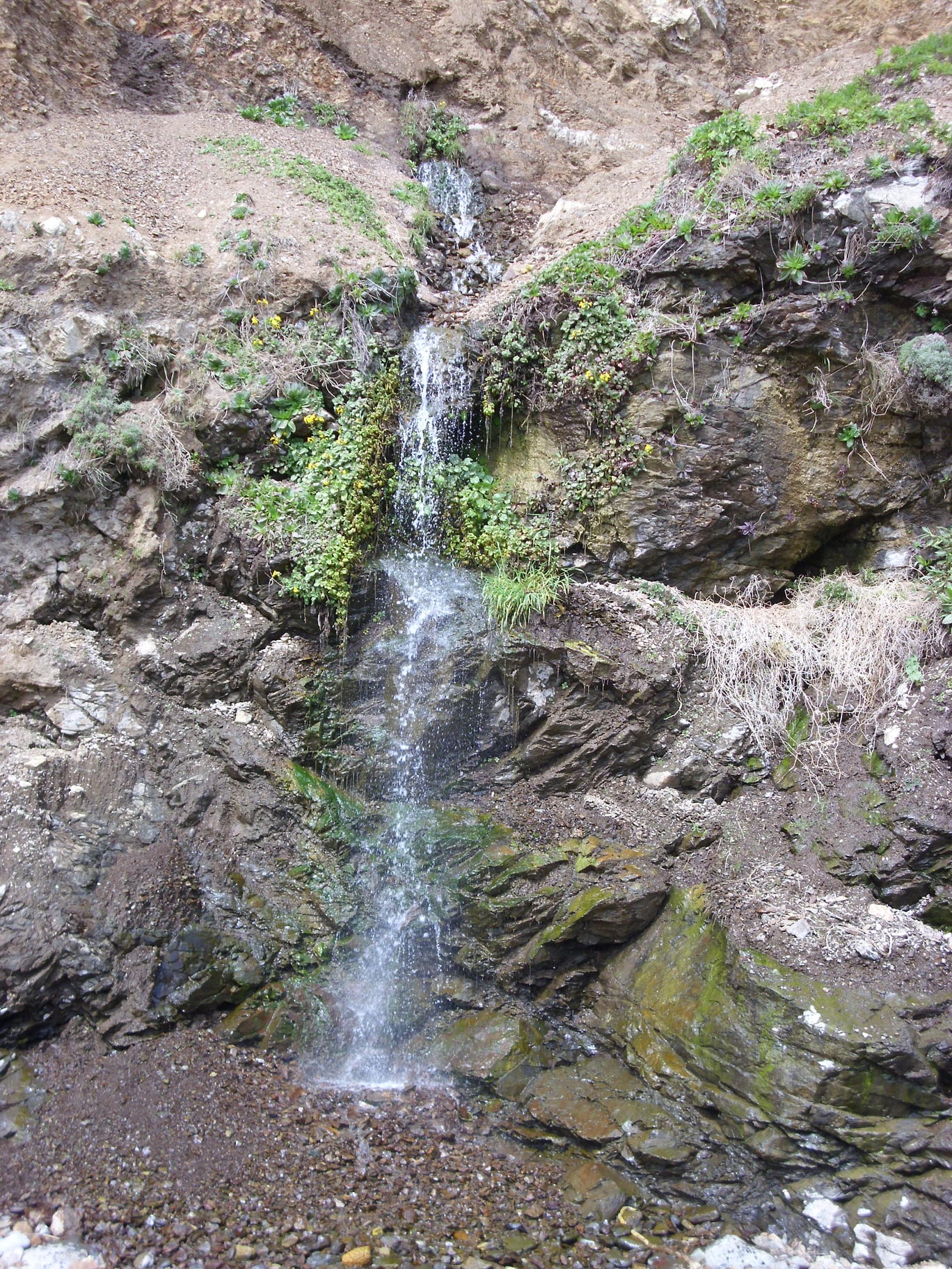
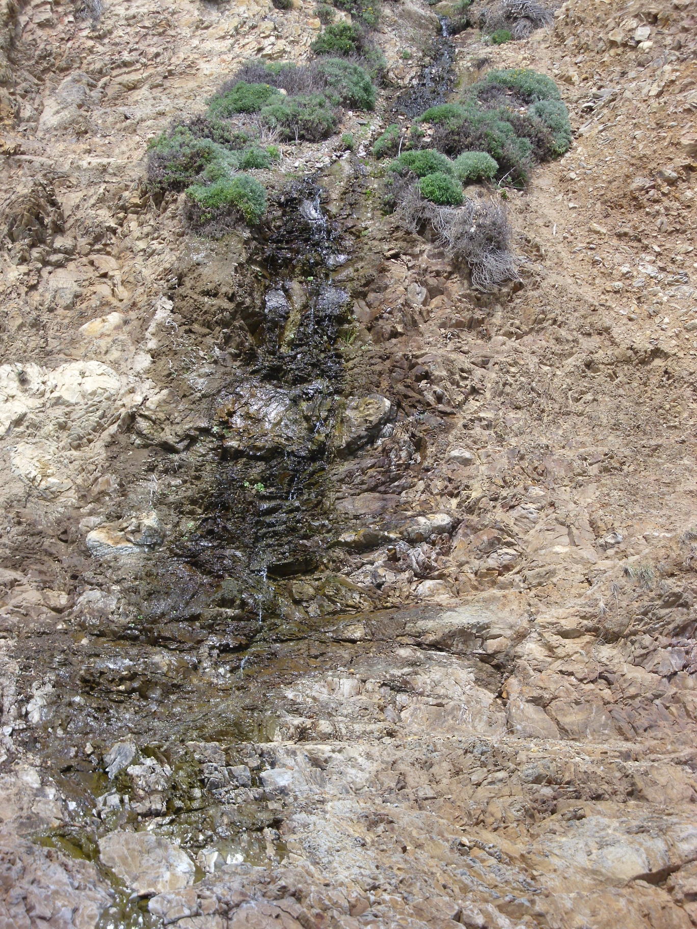
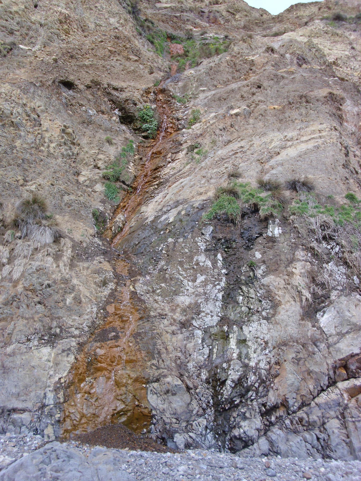
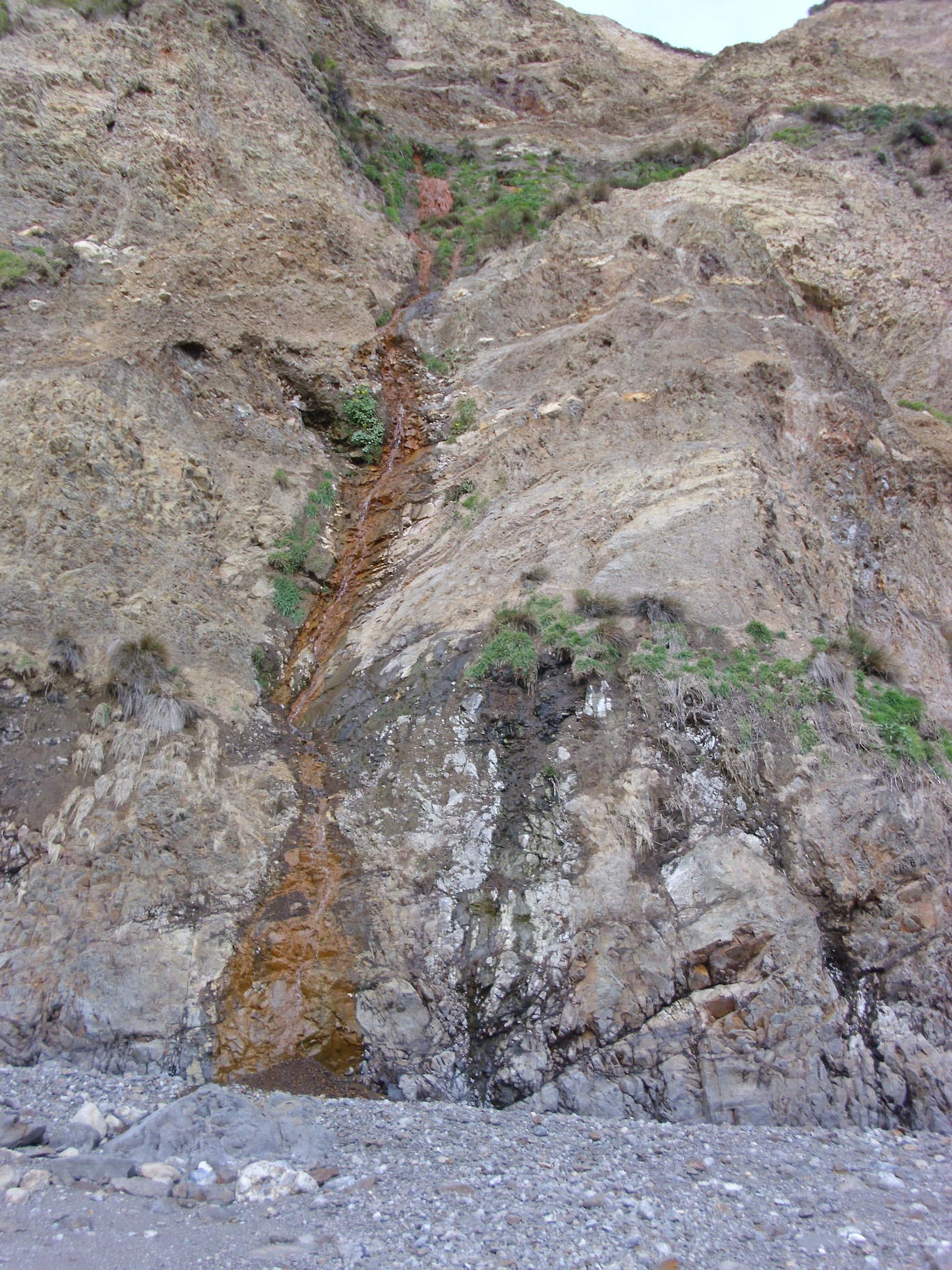
getting closer to Abalone Point, a 22 foot waterfall comes out of the middle of a cliff:
the main falls downstream from Bass Lake:
wider view showing a waterfall on the left:
closer view of the waterfall on the left in the prior photo:
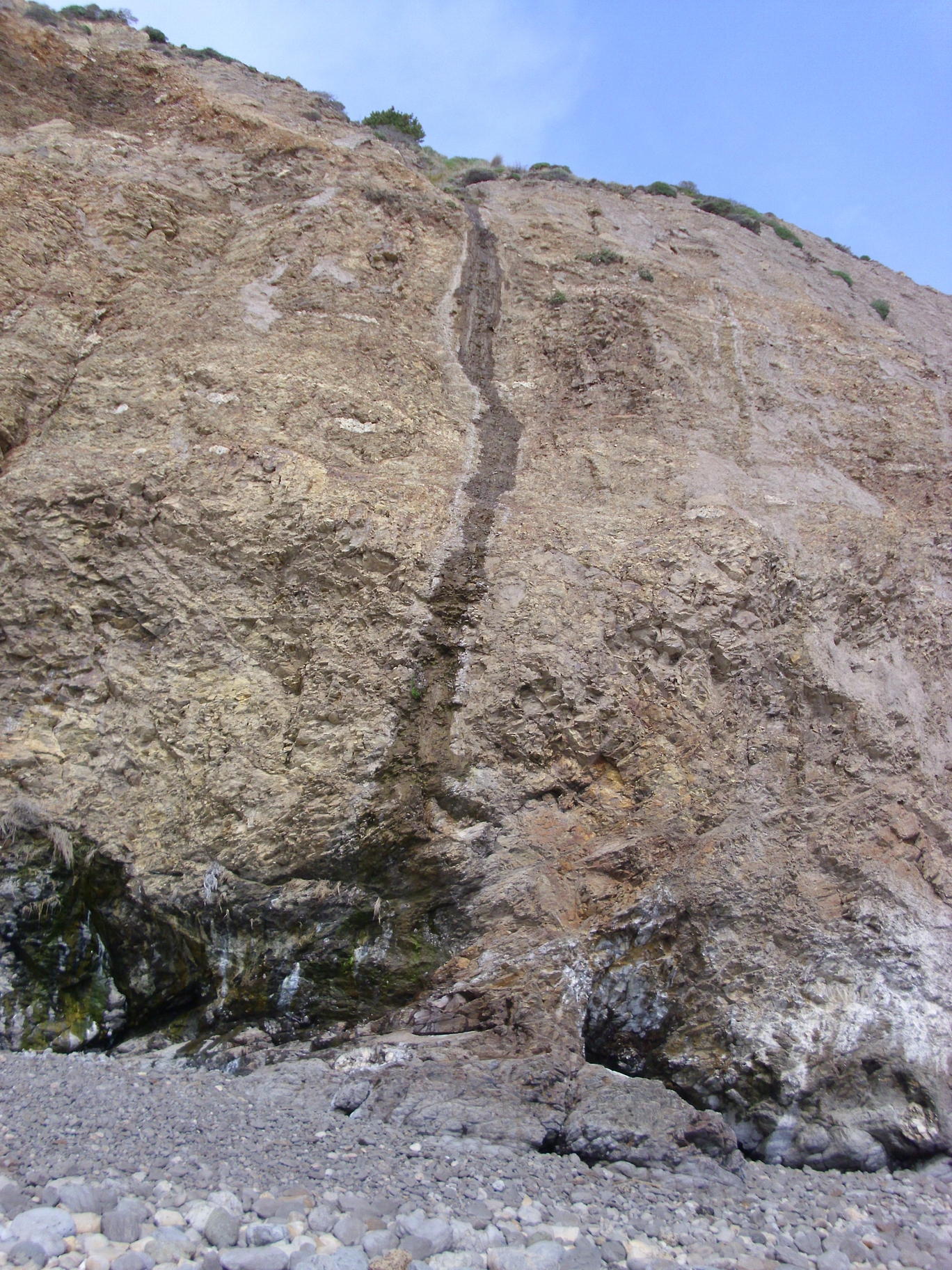
a trickle that would be a waterfall after heavy rain:
A 12 to 25 foot waterfall coming from between Bass Lake and Pelican Lake:
a 20+ foot waterfall a bit farther west:
a 25? foot waterfall:
looking down on the southeast point of Double Point:

Henry Coe - Pacheco Falls, March 28 with the San Jose Hiking Meetup
Waterfall by Kelly Lake: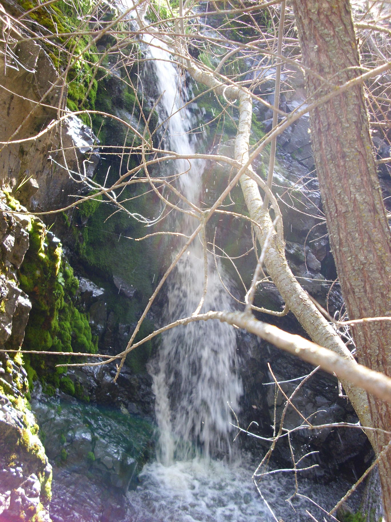
Lower section of Pacheco Falls:
A bit more of the lower 36 feet of the falls (partly hidden by trees):